Reykjavik skyline
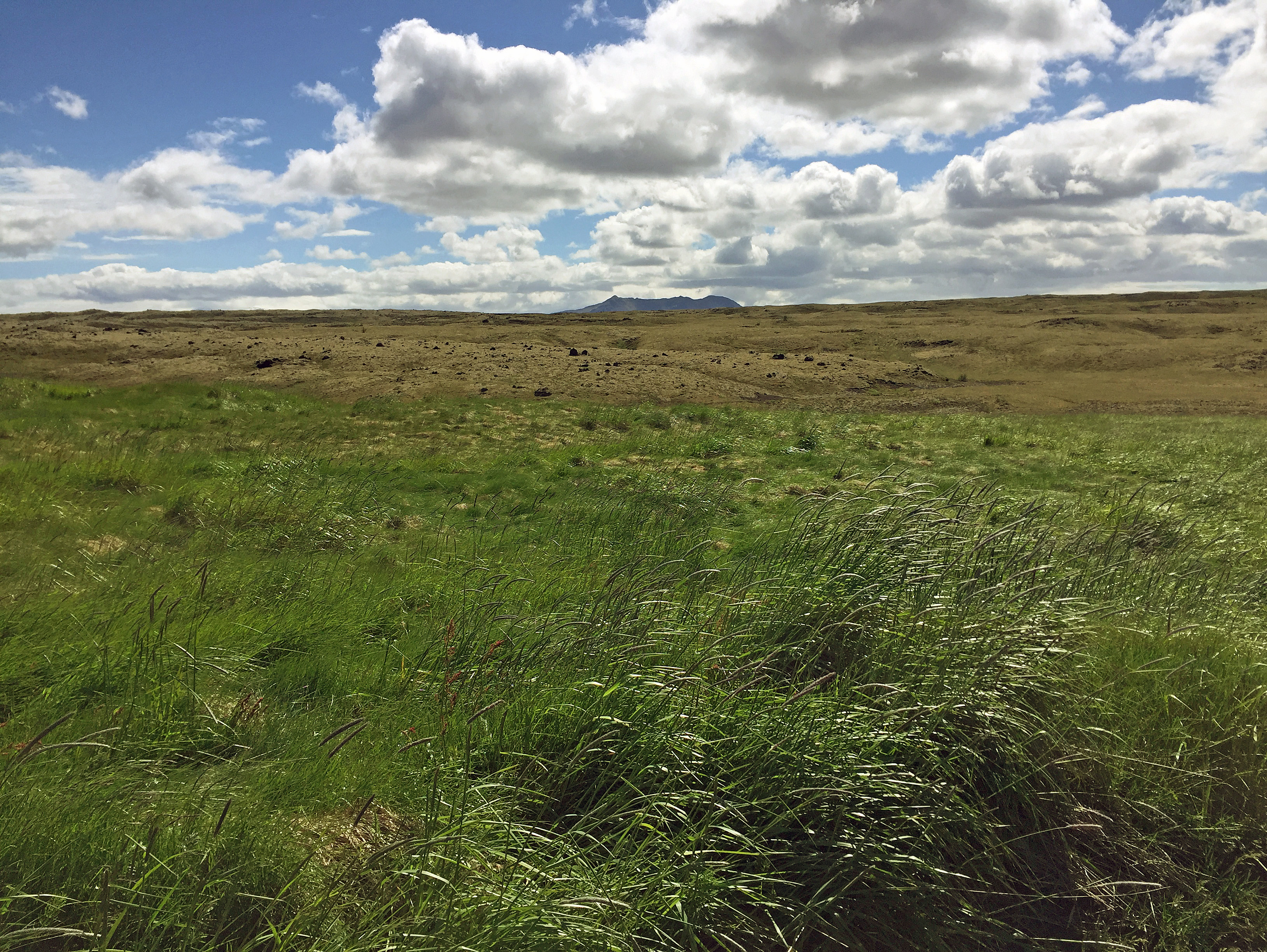
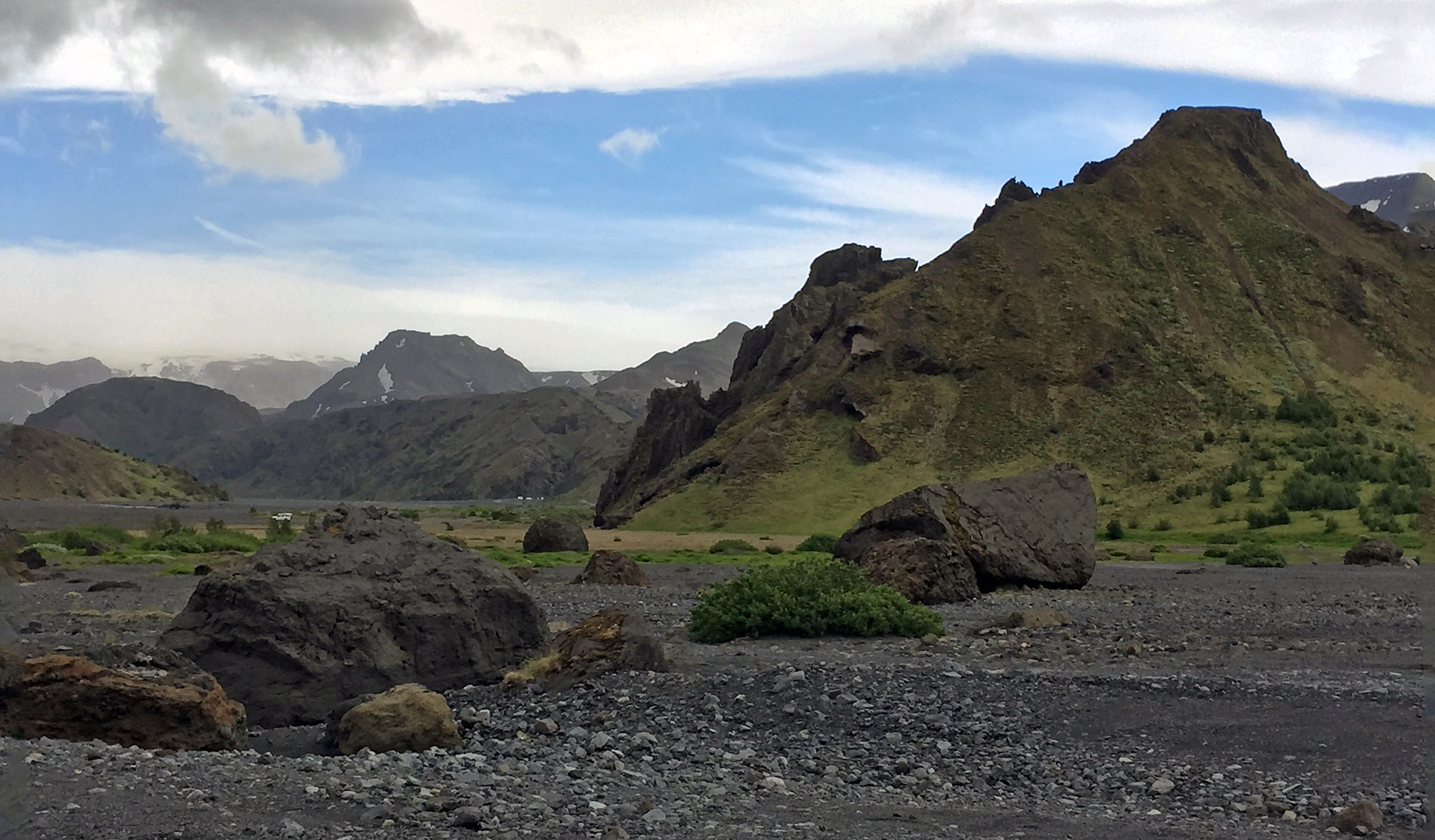
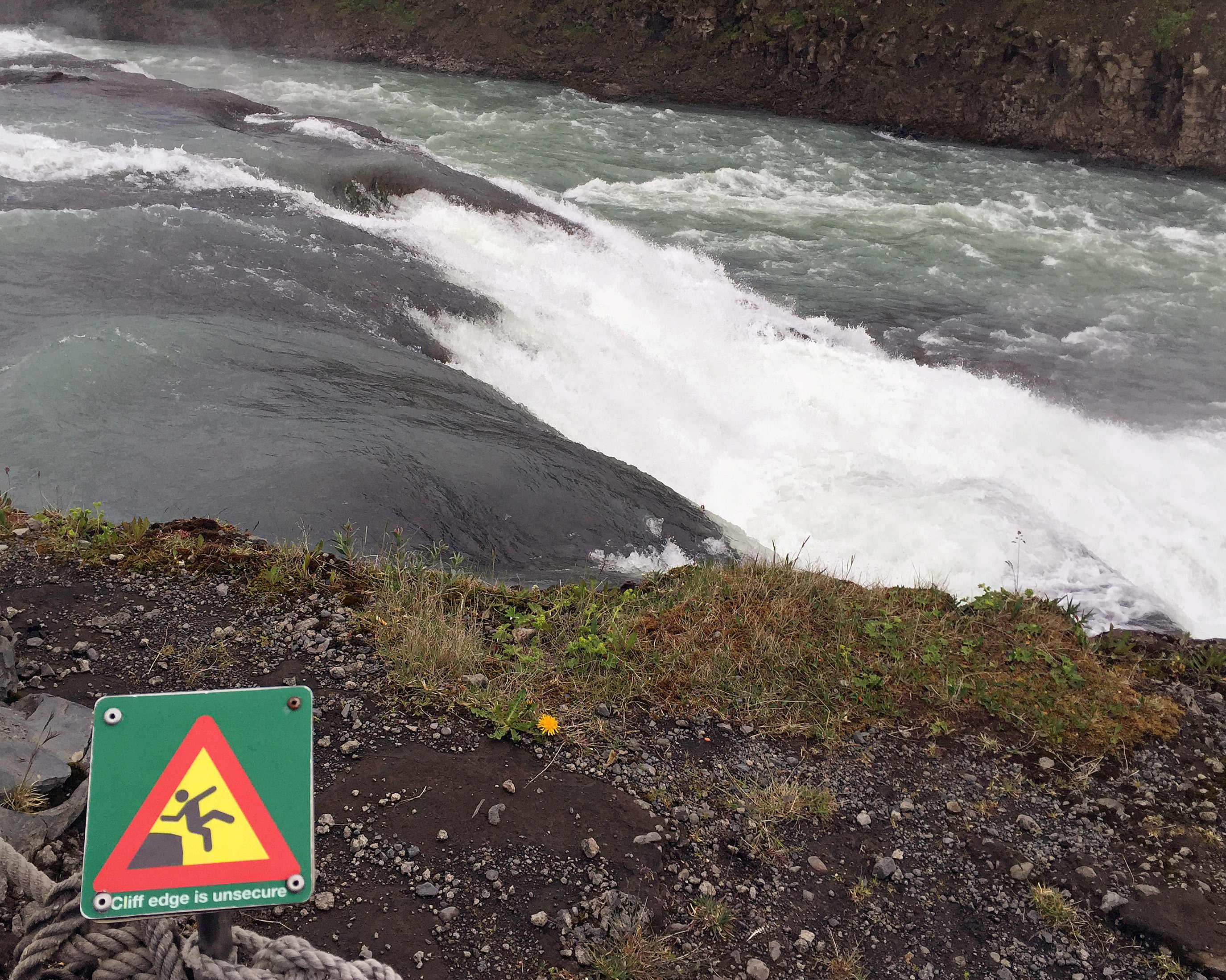
Today was our day to explore Reykjavik. We got up early for breakfast and headed out about 8:15 a.m. I had repacked everything in my bags the night before, so fortunately I was semi-organized. On the way to Reykjavik, we stopped at Urriðafoss, or “waterfall of the trout.” It is Iceland’s most voluminous waterfall, located on the river Þjórsá. The falls weren’t as tall as others we’ve seen such as Gullfoss, but they were spread out which probably accounted for the volume.
A hydropower plant is being proposed for this site. Iceland doesn’t need to energy to heat homes and businesses; instead, the power would be used to run another factory to make aluminum for export. The plant is controversial because it would severely impact the volume and rate of the waterfall, which in turn would affect the fish and wildlife. This is a good reminder that even though a form of energy might be renewable, that doesn’t mean it is without cost. Each time we build any sort of energy infrastructure, we need to weigh cost and benefits carefully, and the costs need to include impact on nature, animals, and environment.

Sun Voyager, sculpture as you enter Reykjavik.
After spending two weeks in what was basically wilderness, it felt like we were entering a big city coming into Reykjavik. In reality Reykjavik is maybe a quarter the size of Columbus, but as Iceland’s capital it has a lot of tourist, cultural, and political attractions.
We started at Hallgrimskirkja, the large church at the highest point in town. Several of the students went up the tower there, but I decided to wait on that and go straight to the National Museum. This museum gives an overview of Iceland’s history from settlement to the present. I had a little over an hour, so I didn’t see everything in as much detail as I normally would, but I hit all the high points including various periods of Norwegian rule, Danish rule, and civil war, as well as the role of the church, witches and warlocks (many more men were burned at the stake in Iceland than women), disease and medicine, women’s rights, and technology. I had not realized that Iceland did not gain complete independence until 1944.
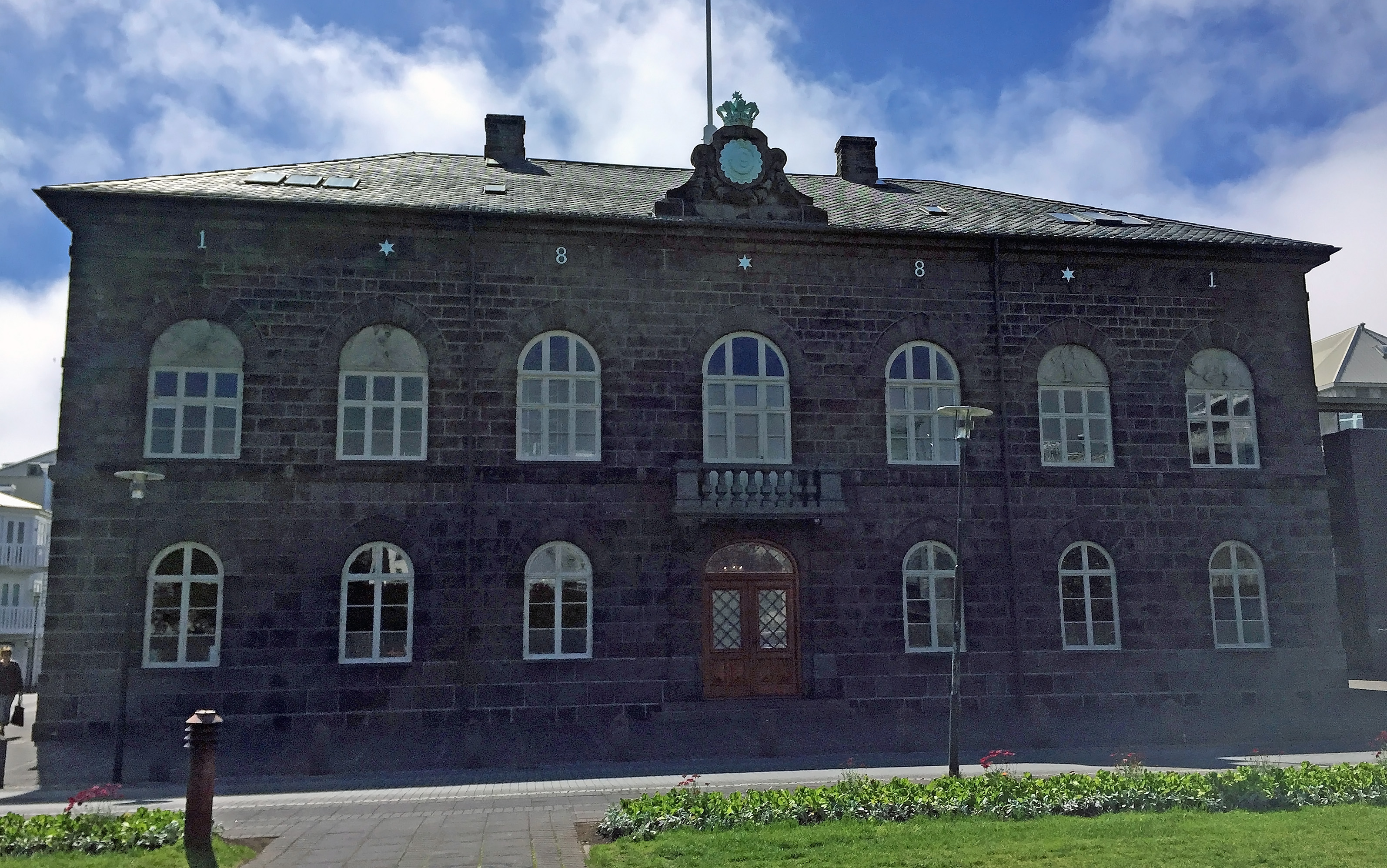
Iceland’s Alþingi parliament building
After the National Museum, I walked toward the harbor to catch a whale watching tour. On the way I stopped to get pics at the Alþingi, Iceland’s parliament building, and picked up a sandwich. I listened in on a tour leader telling his group about how the president of Iceland got himself elected by buying a house in a rural area and running from there since he knew no one in Reykjavik would vote for him. Now that he is in office, he gets a stipend to travel “home,” even though he doesn’t really live there. The tour leader sounded disgusted at the corruption — a common attitude around the world toward most politicians these days.

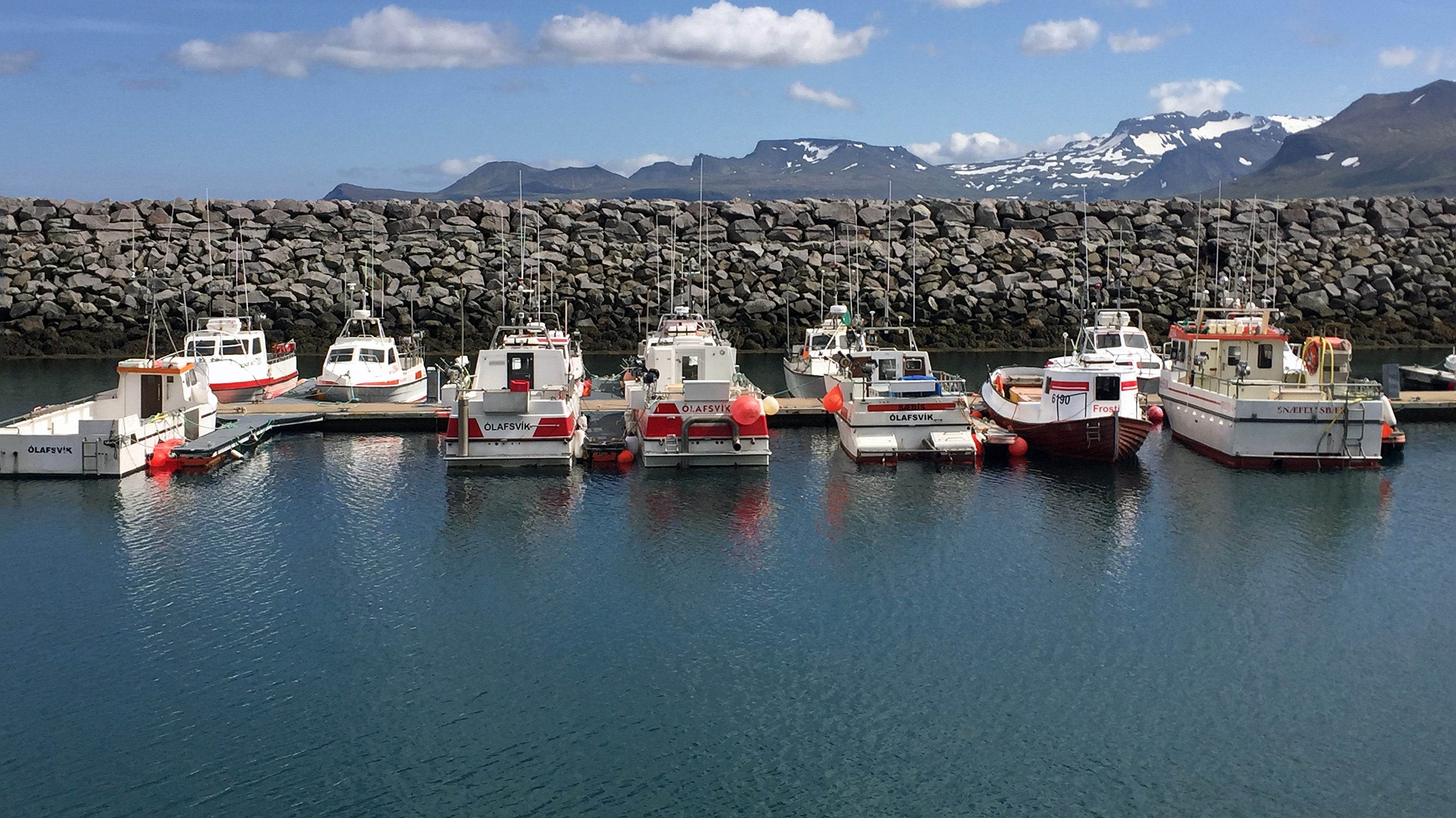
Reykjavik’s Old Harbor
I made it to my 2 p.m. whale watching tour 10 minutes early, only to find I had made a mistake in buying my ticket. I had bought a tour for tomorrow when I would not be in town, not today — and the 2 p.m. tour today was full. I was so disappointed until the tour company employee helped me buy a 2 p.m. ticket with a different company. She actually took me to two competitors before we found a spot. It was a three-hour rather than a two-hour tour, meaning I would have to miss the whale museum afterwards, but I got the ticket anyway. Our bus would not leave until 6 p.m., which at least gave me time to get back to church.
I was hopeful of seeing a whale on the tour because the morning group had seen a minke, but once we got out to sea, we found ourselves in the middle of a huge fog bank. We did see three small pods of white-beaked dolphin. I tried and failed to get pictures — you had to be up front and ready to snap a photo immediately at all times. But I did get a very choppy video of one pod of dolphins as the boat lurched back and forth.
I was also struggling with the big red warming overalls the tour company provides for people to stay warm. The set I got was labeled XL but was still too small. It was hard to get them on, hard to tie my shoes, and hard to walk. After an hour of looking for whales we headed back to shore, and I struggled to get the overalls off. At one point I thought I might get seasick, but I managed to hold it in. Some fresh air and putting my head down on a table in the small restaurant helped, and I was okay by the time I reached shore. Looking back, it may be better that I didn’t get on the express boat, because those are much faster, hit the waves harder, and may in fact have made me seasick.
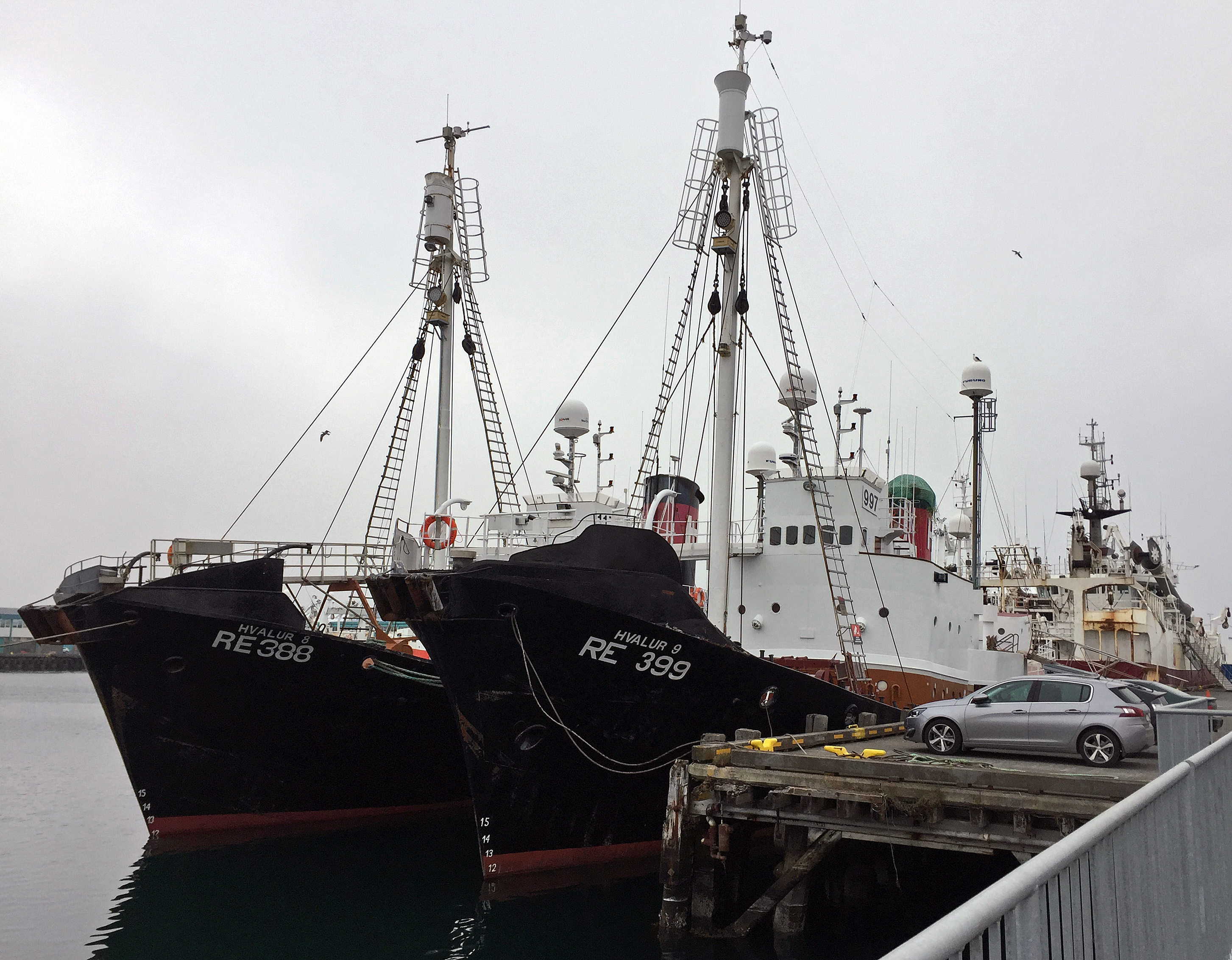
Hvalur whaling boats share a dock with whale watching tours.
Throughout the trip, the tour leader told us about the various kinds of birds, whales, and dolphins in Faxa Bay, where both whale watching and whale hunting takes place. A few years ago, a boat full of whale watchers was shocked to come across a hunting boat with a whale strapped to its side. Our tour operator urged the tourists on board not to eat at restaurants that sell whale meat, and if they found themselves in one, to leave and tell the restaurant owner why. She also told us the whale hunting ships share the same harbor right behind the whale watching ships. When I got back to shore and disembarked, I could see she was right. Two big black Hvalur ships were right there, looking like two death stars docked at sea.

Reykjavik residents watching Iceland play Austria in soccer playoffs.
After getting back to shore I poked around the souvenir stores a bit, then headed to Hallgrimskirkja. On the way through the town center, a large TV had been set up in a central square, and a crowd of people had gathered around to watch the Iceland soccer playoff game against Austria. Walking along, every bar and restaurant had set up its own TV in its window, with crowds gathered inside and outside to watch. You could walk down an entire street and not miss a call.
By then the fog had rolled onto land, and the church’s tower was entirely obscured by clouds. I tried basically heading up and arrived at the church with about 15 minutes to spare. This was enough time to get some pictures inside the beautiful nave of the church, then head up the tower myself. Because of the fog there was no for the elevator, which holds only 6 people. I went up by myself and got a foggy view all around town from the church tower. While up there I heard a great roar from the crowds below. When I got to the bus, I found out why: Iceland had scored a winning goal with just seconds to spare. The entire town was celebrating.
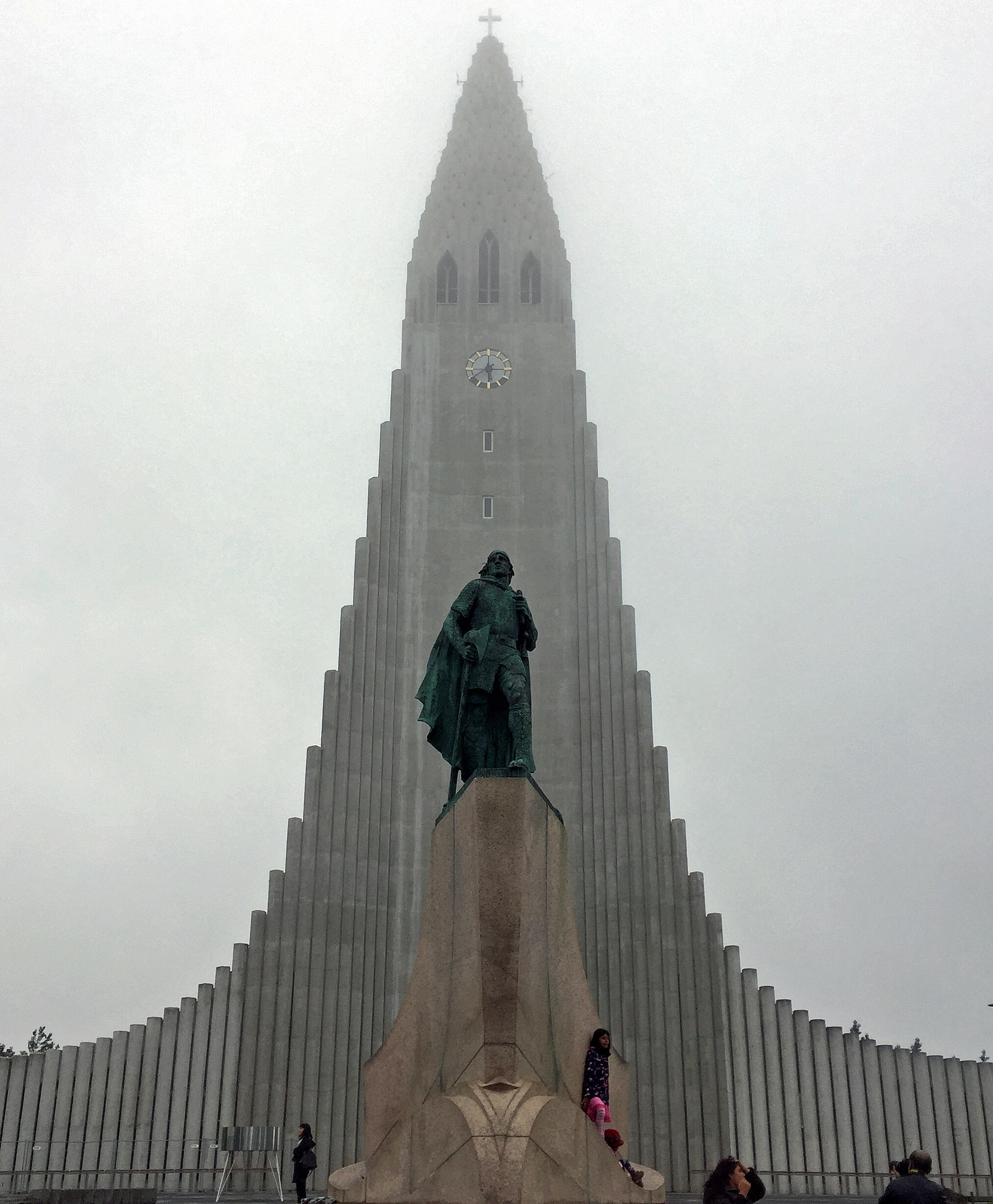
Foggy view of Hallgrímskirkja
At 5:57 p.m. the other students arrived at the bus from watching the game in the crowds. We then headed to the overnight rooms where we would be staying near the airport in Keflavik. I had said goodbye to Tobba at the National Museum and now said goodbye to Sigthor. Those two really made our trip work, and I felt as if I was saying goodbye to good friends. My room with Danielle was a converted office next to a garage from a former car rental place and still smaller of gasoline, but I was tired enough not to care.
After dropping off luggage, the group set out to find food. The sign said a restaurant was 250 meters away, but it was more like a mile away. We found a whole area of shops and restaurants, but many had closed early due to the soccer game, and others were either fast food or high end fine dining. Finally we found a Thai restaurant, and I got a stir fry that hit the spot. After dinner we held a final reflection session at the restaurant, then headed back to the rooms for a shower and a few hours of sleep before leaving for the airport at 5:45 a.m.
Here are some more photos from the day. Click on any photo to enlarge it.
-

- Shoreline apartment buildings
-
- No tractors on the road!
-

- Reykjavik City Hall
-

- Lake Reykjavik in center of town
-

- Interesting mural
-

- Harpa Concert Hall taken from whale watching boat
-

- There are puffin tours too
-

- The organ in Hallgrímskirkja
-

- Do not disturb the organist
-

- A foggy view from atop Hallgrímskirkja