Today we did two main things. In the morning was a visit to Keldur Farm, an Icelandic home that dates to the 11th century. In the afternoon was a guided tour through the Soil Conservation Service‘s interpretive gallery and surrounding land with its director, Sveinn Runolfsson. We capped the day with a final swim.
Keldur Farm

Keldur Farm was built in the 1000s, with a relatively modern addition in the 1830s.
Keldur Farm was settled in 1000 and occupied continuously until 1946. The farmhouse now belongs to the national park service. Behind the farm is a natural spring, and it is in a valley so it is protected from possible invaders. The house is made of volcanic rock with turf on top, which keeps it insulated. It is cold inside, but if the occupants built a fire, the heat would stay in. Attached to the medieval house is a more modern house where the family lived from the 1830s through 1946.

The escape tunnel comes out through this hillside door.
One very interesting feature of the house is an escape tunnel. This was not found until the 1930s when the occupants were digging out a latrine. The tunnel goes from the lower floor of the house and comes out on the side of a nearby hill. The theory is this was to be used as an escape hatch in case of attack. At the time the house was built in the 1000s, Iceland was in the middle of a long civil war over whether to remain independent or go back to the Norwegian king.
After the farm visit, we stopped at a place along the road where work crews were digging. Layers of soil were clearly visible, and Dr. Slater explained what they meant. About a meter from the top was the settlement layer defined by the 973 eruption of the nearby volcano Hekla, marking when the area was settled with people. On the lower levels you could see layers 8,000 years and older, including a large layer of tephra laid down by volcanic eruptions and layers of gravel and rocks brought in by moving water and glaciers.
Soil Conservation Service

An area of degraded land in front of Mount Hekla.
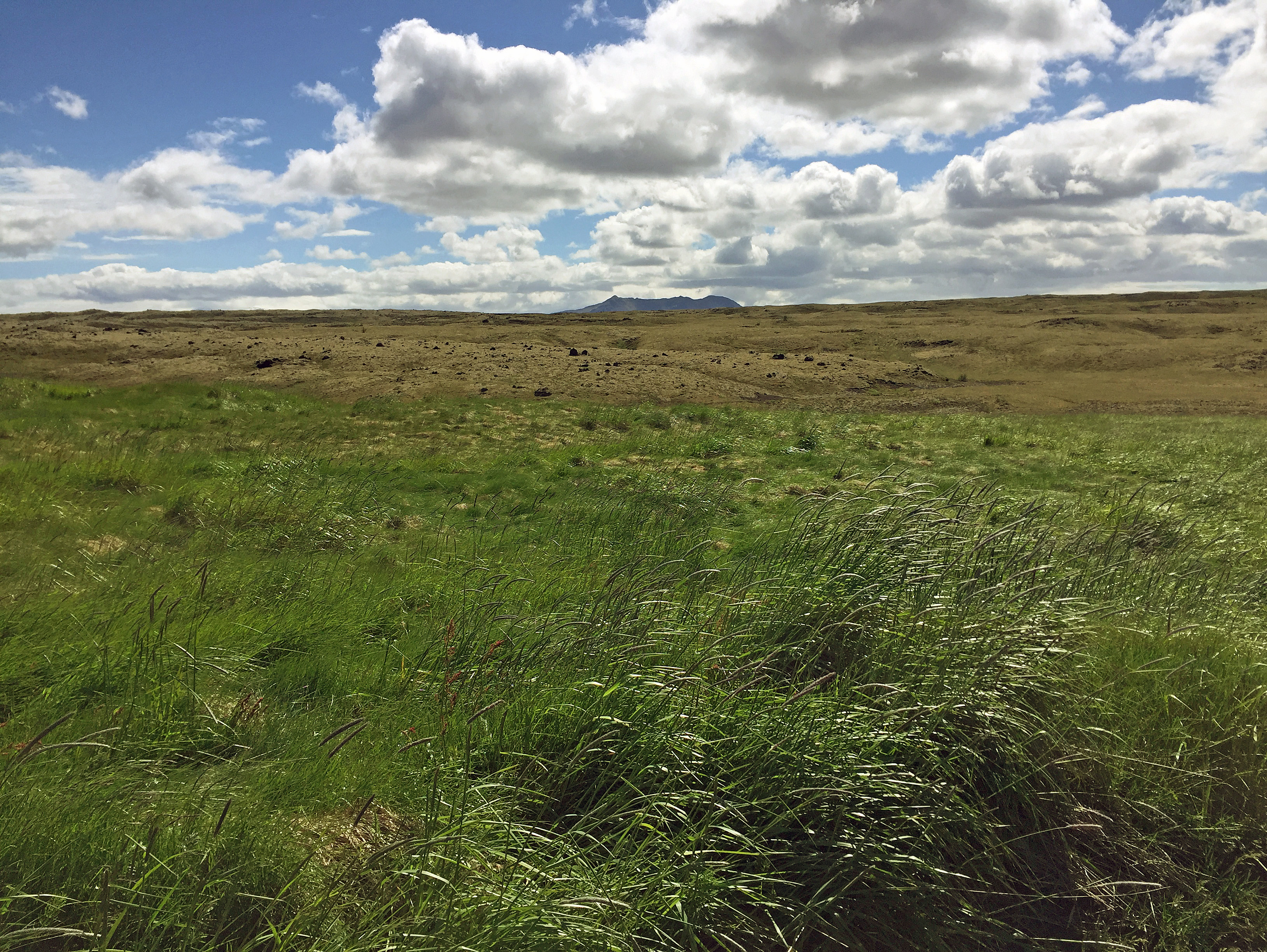
Driving through the area we could see a lot of grass, mosses, scrub brush, and some trees. But it wasn’t always this way. Centuries of settlement and cutting down trees left the land barren and eroded, so that by the 20th century it was severely degraded. Only black sand remained, with no plants or greenery of any kind. In the 1930s the Soil Conservation Service began efforts to rehabilitate the land by using seeds and fertilizer and restricting grazing.
Now the land is covered in greenery, and the SCS is deploying the same techniques all over Iceland and the world. Besides our group, the SCS is also hosting students from United Nations University to learn these techniques for combating desertification. UNU now has four programs running at SCS on land restoration, geothermal power, fisheries, and women’s equality.

Sveinn Runolfsson describes efforts by the Soil Conservation Service to restore desertified land.
The talk by Runolfsson was one of the best things we did this entire trip. I loved hearing how Iceland is coming to grips with centuries of land mismanagement and learning how to properly manage and restore the land. There were so many parallels between this story in Iceland and the much larger story of climate change, which is really about how humans have mismanaged land, water, and air resources, and how we can rehabilitate what we have impoverished and learn how to manage it better.
Hearing the story of Iceland’s recovery gives me hope that humanity will be able to rehabilitate to planet, even after the oil, coal, and gas industries have helped lead to its degradation and delay action for decades through a deliberate campaign of denial.

This display shows how extensive the lyme grass root system is.
From Runolfsson’s talk, I saw several ways the Iceland story parallels climate change today. First, when the SCS was looking for a solution to the desertification crisis on its land, it first tried seeds from other countries, but those plants quickly died. What worked was to go back to traditional knowledge and practices. People in this area had lived in tandem with lyme grass for generations. They used the seeds for making flour, and the root system for making household goods such as rope and brooms. Lyme grass proved to be hardy, winter resistant, and drought resistant — the perfect plant for northern desert conditions. SCS had great success in planting lyme grass with fertilizer and keeping grazing animals off the land.
What this shows is something I learned at the Paris climate conference, which is that indigenous knowledge and practices are what will provide the solutions for the future. Indigenous people from all over the world were a very pronounced presence in Paris. They see themselves as at the front lines of climate change because they are fighting oil, coal and gas companies on their lands — think of the indigenous groups displaced by dams in Brazil, or the indigenous people displaced by the Keystone pipeline in the United States. Yet indigenous people also hold the solutions we need to climate change, which is a point they tried hard to make in Paris. Unlike our practices, theirs are sustainable for generations. This use of lyme grass in Iceland is an example of a sustainable practice that provides the solution for rehabilitating a desertified area.

This display shows the amount of soil erosion over several millennia.
Runolfsson said two other things about how the land became so degraded that caught my attention. One was that the Vikings cut down all the trees to make charcoal for sharpening their swords — in other words, they consumed all the natural resources for war and the weapons trade. This is similar to how the military industrial complex, fueled by the oil, coal, and gas industries, is degrading our natural resources to fuel weapons manufacturing and trade along with endless wars. It turns out that resolving our differences peacefully is not just a nice idea, or nice for people caught in the crossfire of war. It’s actually essential to preserving the inhabitability of our planet.
Second, Runolfsson referred to the misconception that we must produce as much food as possible, especially meat. Inhabitants of the past cleared all the trees to make way for grazing land for sheep, then they grazed the sheep until the vegetation was completely gone before packing up and leaving because they could no longer make a living from the land. This idea that we must produce endless supplies of meat is, in Runolfsson’s words, “a load of crap.” Yet representatives from every society that have come to SCS to learn about land rehabilitation have come in with that idea, and it is very hard to shake.
Lyme grass grows in the foreground. The area in the background still needs work.
For climate change today, one of the root causes is our idea of endless growth and personal consumption. Meat production certainly plays a role, responsible for about a fourth of climate change, but so does our consumption in general, especially in the United States and First World. The idea that we must have more and more stuff, throw it away, and buy more, requires more and more to be manufactured, which requires more and more resources to produce. It’s not sustainable, and we must find a better way. Gandhi said that we have enough for every person’s need but not every person’s greed. How right he turned out to be.
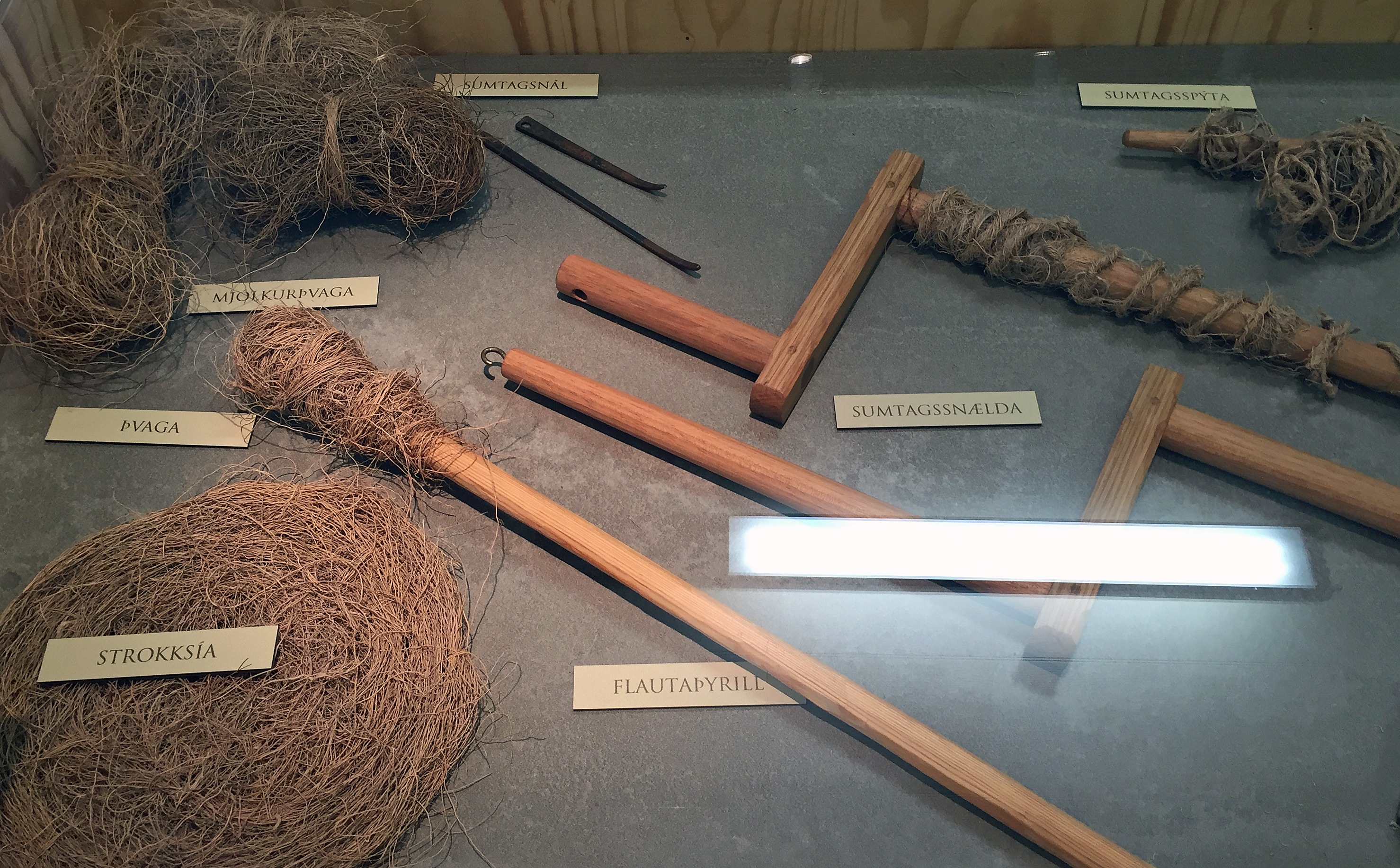
Household items made from lyme grass
Can humans make the leap to simplifying our needs, going back to basics on our diet, and furnishing what we do use and eat through sustainable practices? I don’t know, but the story of Iceland shows that if we can, a clean environment and prosperity will be the reward. When Iceland’s land was degraded after centuries of misuse, it was one of the poorest nations in the world. Now it is one of the richest, welcoming 1.7 million tourists a year, about five times its total population. So many people want to visit because to see Iceland’s natural beauty, showing that a country that preserves its environment will thrive, while one that degrades it will not.
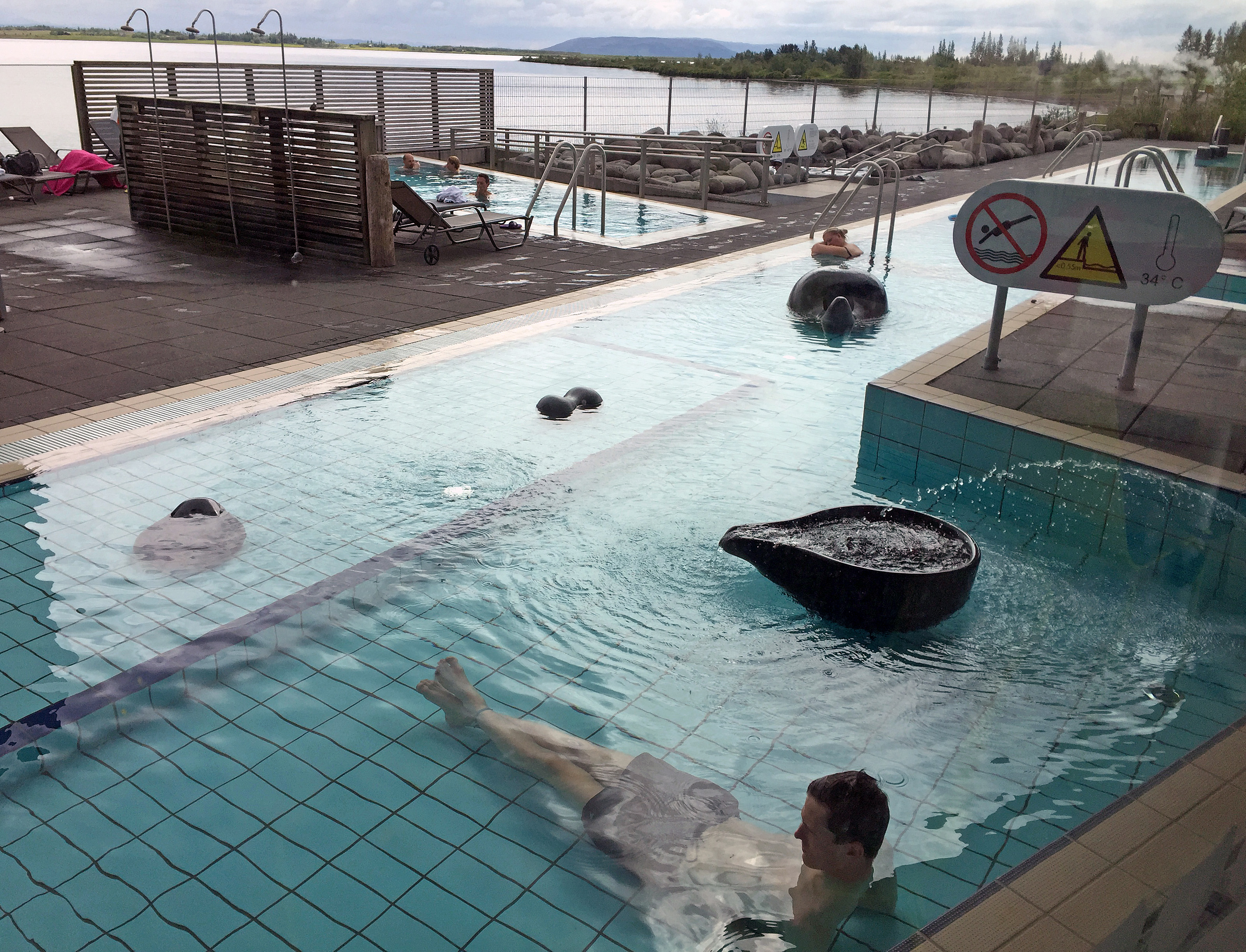
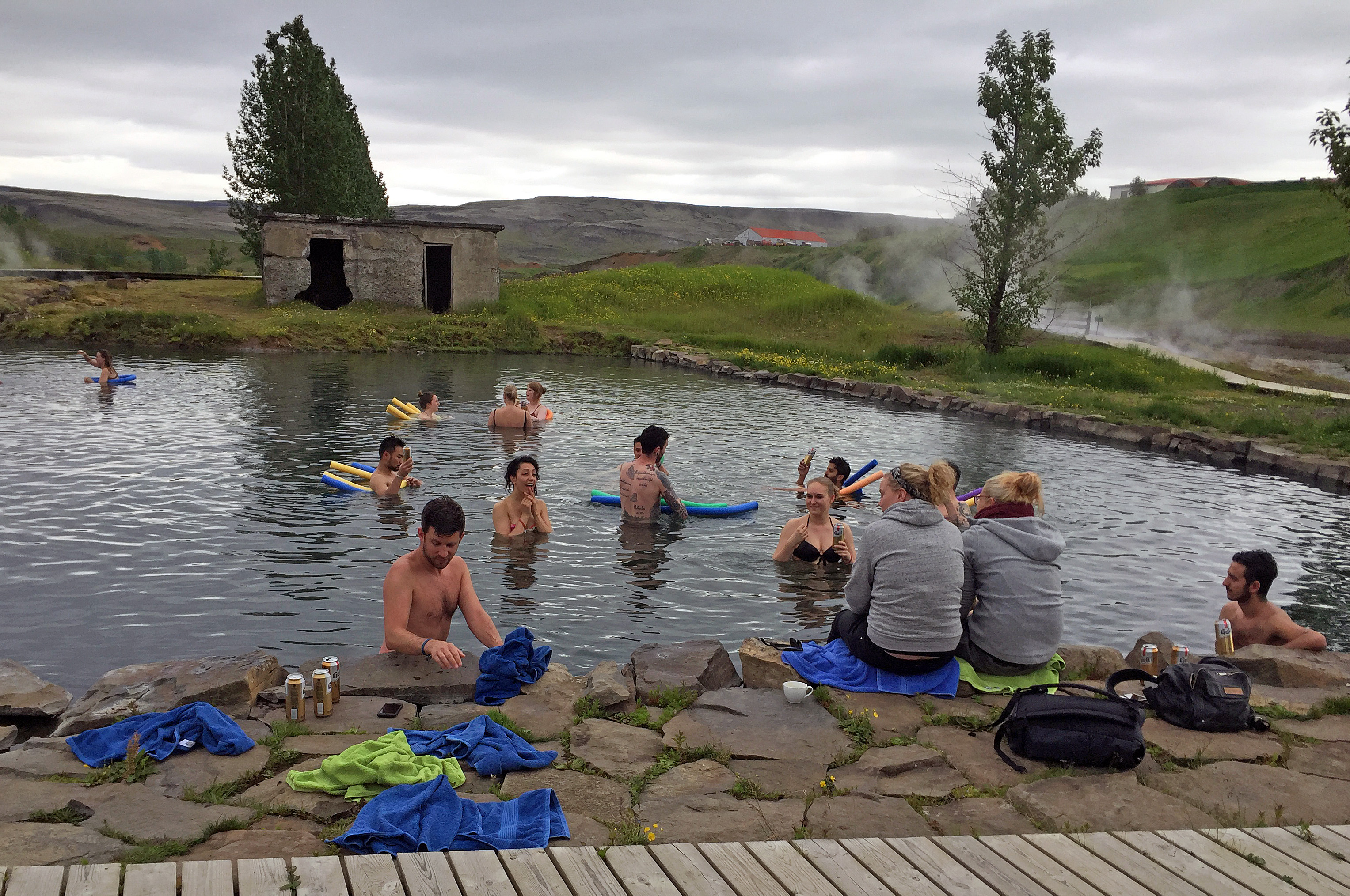
After a brief stop back at the Soil Conservation Service to gather up our bathing suits, we went for one more swim and hot tub at another Icelandic swimming pool. I got in 15 laps and two tub sessions and felt warm and refreshed afterwards.
Here are more photos from the day. Click any photo to enlarge it.
-

- Keldur Farm main room. Escape hatch on left.
-

- Keldur Farm sitting room
-

- Keldur Farm bedroom
-

- Private church at Keldur Farm
-

- Keldur Farm’s spring and mountain view.
-

- Soil layers
-

- Soil Conservation Service interpretive center
-

- Dr. Slater, Sveinn Runolfsson, and Tobba
-

- Display of soil erosion over millennia
-

- Soil erosion has grown exponentially
-

- Sofn hut where lyme grass was dried
-

- Rehabilitating the soil
-
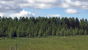
- Reforestation project
-

- Mt. Hekla with restored land in foreground.
-

- Mount Hekla
-

- Speeder got stopped