
Late Spring Dry Spell Underway
// C.O.R.N. NEWSLETTER // 2023-16 //
Memorial Day felt like the typical unofficial start to summer, with highs well into the 80s across the state. This has not been the case much this spring, as average temperatures since April 1st have been up to 2°F below average. Along with this cooler spring, precipitation has been much below average (Figure 1). Precipitation over the last 30- and 60-days is running 50-75% of normal across most of Ohio, with areas in northwest, northeast, and southwest Ohio down to as much as 25% of normal (dark orange shading). Only parts of the northern Miami Valley (Shelby and Auglaize Counties) has seen above normal precipitation this month. Along with low dewpoints and relative humidity, surface conditions are drying rapidly. To submit observations and impacts that you are seeing at your location, visit the National Drought Mitigation Center’s Condition Monitoring Obsever Reports (https://go.osu.edu/drought_cmor). These reports will help us monitor the rapidly changing conditions and update the US Drought Monitor for Ohio.

Figure 1: Percent of normal precipitation left) over the last 30-days and right) 60-days. Figure courtesy of the Midwestern Regional Climate Center.
Forecast
This week will definitely feel like summer, with highs warming into the mid to upper 80s throughout the week, and getting into the low 90s this weekend across the southern half of the state. There will be the opportunitiy for a few widely scattered showers or storms possible from time to time, but most of the state will remain dry through the upcoming weekend (Figure 2).

Figure 2. Precipitation forecast from the Weather Prediction Center for 8pm Monday May 29 – 8pm Monday June 5, 2022.
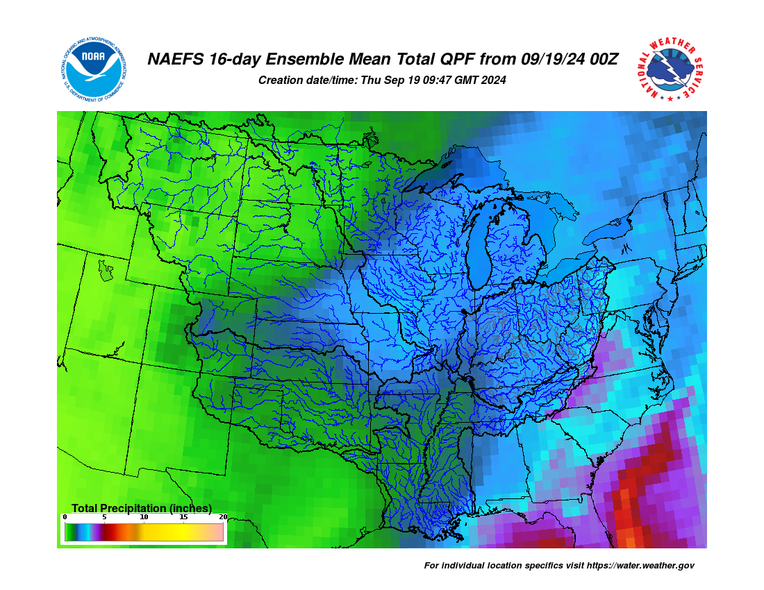
Guidance from the Climate Prediction Center and the 16-Day Rainfall Outlook from NOAA/NWS/Ohio River Forecast Center indicate that after this week’s hot weather, the pattern shifts toward a cooler scenario for June 6-12 with near normal precipitation (Figure 3). Climate averages include a high-temperature range of 76-80°F, a low-temperature range of 56-60°F, and average weekly total precipitation of 0.85-1.05 inches.

Figure 3. Climate Prediction Center 8-14 Day Outlook valid for June 6 – 12, 2023, for left) temperatures and right) precipitation. Colors represent the probability of below, normal, or above normal conditions.