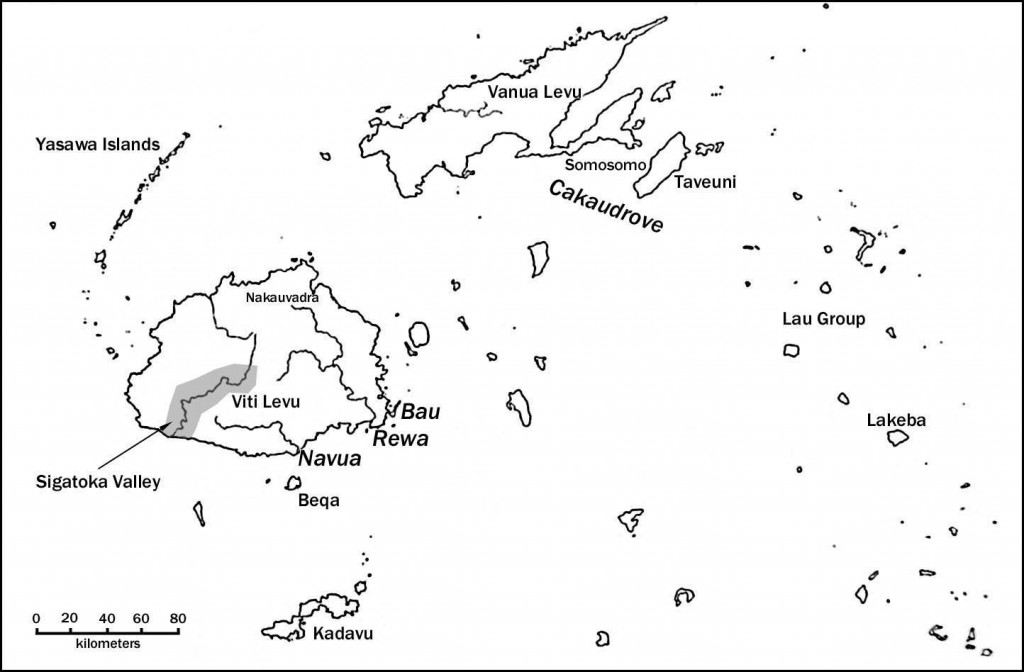
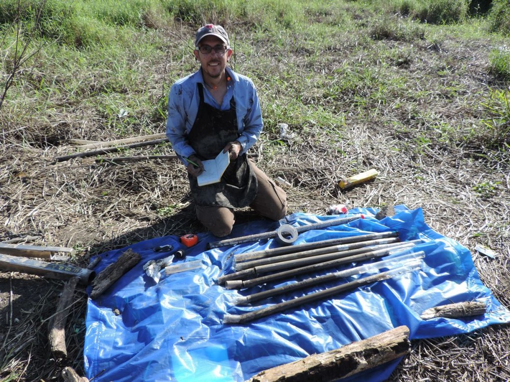
Starting in June 2013, I initiated a research project focused on the transition from maritime foraging to farming in the immediate Post-Lapita period. This project is funded by the National Science Foundation (SBS Award #7210224). With my colleagues Chris I. Roos (Southern Methodist University), John V. Dudgeon (Idaho State University), Amy Commendador-Dudgeon (Idaho State University), and the Archaeology Department of the Fiji Museum, we started our project with a focus on analyzing the prehistoric environment of Viti Levu Island, Fiji. More specifically, we initiated a terrestrial coring program focused on the sequencing of deposits, with the goal of determining fire history, vegetation regime shifts, and detection of plant and animal microfossils. Over the course of a month we placed 4 cores in isolated drainages of the Sigatoka Valley, located in the western half of Viti Levu, Fiji. Analyses of these cores are underway: thus far we have a paper in press (2016) that summarizes the anthropogenic burning that is evident along the coast of Viti Levu. A brief summary is provided below. Additional analyses will be summarized here within the next year (2016-2017).
Anthropogenic burning, agricultural intensification, and landscape transformation in Post-Lapita Fiji (2016, Journal of Ethnobiology, 36:3)
Christopher I. Roos1*, Julie S. Field2, and John V. Dudgeon3
1 Department of Anthropology, Southern Methodist University, Dallas, TX 75275
2 Department of Anthropology, Ohio State University.
3 Department of Anthropology and Center for Archaeology, Materials, and Applied Spectroscopy, Idaho State University.
ABSTRACT
Slash-and-burn cultivation (swidden) is an important and extensive strategy among agriculturalists in Oceania. The length of the fallow period, in which non cultivated vegetation is allowed to regrow, is critical to the sustainability of this strategy in tropical environments. Long fallow periods permit greater soil recovery and higher yields over the long term whereas shorter fallow periods drive cycles of soil degradation that ultimately result in a landscape that is too degraded for continued cultivation. Anthropologists recognize that decreasing swidden fallow times is a key form of agricultural intensification that may have shaped interpolity conflict and social complexity. Although it is easy to identify the degraded landscapes that are a legacy of this pattern today, it has been a challenge for archaeologists to identify the timing and rate at which such processes took place in the past. We use alluvial stratigraphic records of charcoal and stable carbon isotopes from a small drainage in Western Viti Levu, Fiji, to reconstruct the timing and rate of intensification of swidden agriculture from long-fallow clearing of native forest, shorter fallow burning of secondary forest and grassland, to grassland conversion. Results suggest that swidden cultivation in the lower Sigatoka Valley did not commence until centuries after Lapita colonization (ca. 2950 cal BP). Early swiddening apparently used relatively short fallow periods coupled with residential mobility to sustain horticultural yields until mobility no longer became a viable option. Archaeological indicators of resource stress co-occur with persistent swiddening after 1450 cal BP, although these precede the collapse into degraded grassland conditions at 1000 cal BP. Archaeological evidence for conflict increase after landscape degradation although emerging social inequalities only appear after centuries of degraded conditions and conflict.

Location of the Caluwe Core, with reference to the nearby Sigatoka River and Sigatoka Dunes Lapita Site

Comparison of charcoal concentrations and carbon isotopes– indicator for chronology of burning and forest canopy destruction ca. 1700 cal BP at the Caluwe drainage.


