Hot off the presses from Thames and Hudson: World Prehistory and the Anthropocene
Description
How do we connect students today to our human world prehistory? This first edition covers essential topics of world prehistory through the lens of the Anthropocene. Each chapter focuses on how and why humans have transformed the Earth through time, linking prehistory to today’s global challenge of climate change. Supported by unmatched digital learning resources including an adaptive learning tool, InQuizitive, this book engages and inspires students to understand how we got here and how we can draw on the past to make better choices in the future.
Contributors
Joy McCorriston
Author
Joy McCorriston is Professor at The Ohio State University, and has taught Methods, Theory, and World Prehistory courses in archaeology for 22 years. Joy is a National Curriculum Committee Member for the Society for American Archaeology, and was part of the application assessment of SAA principles for teaching archaeology in the 21st century. She is the author of Pilgrimage and Household in the Ancient Near East (Cambridge University Press), and is the Director of the Roots of Agriculture in Southern Arabia. Joy researches agricultural origins and development in the ancient Near East.
Julie Field
Author
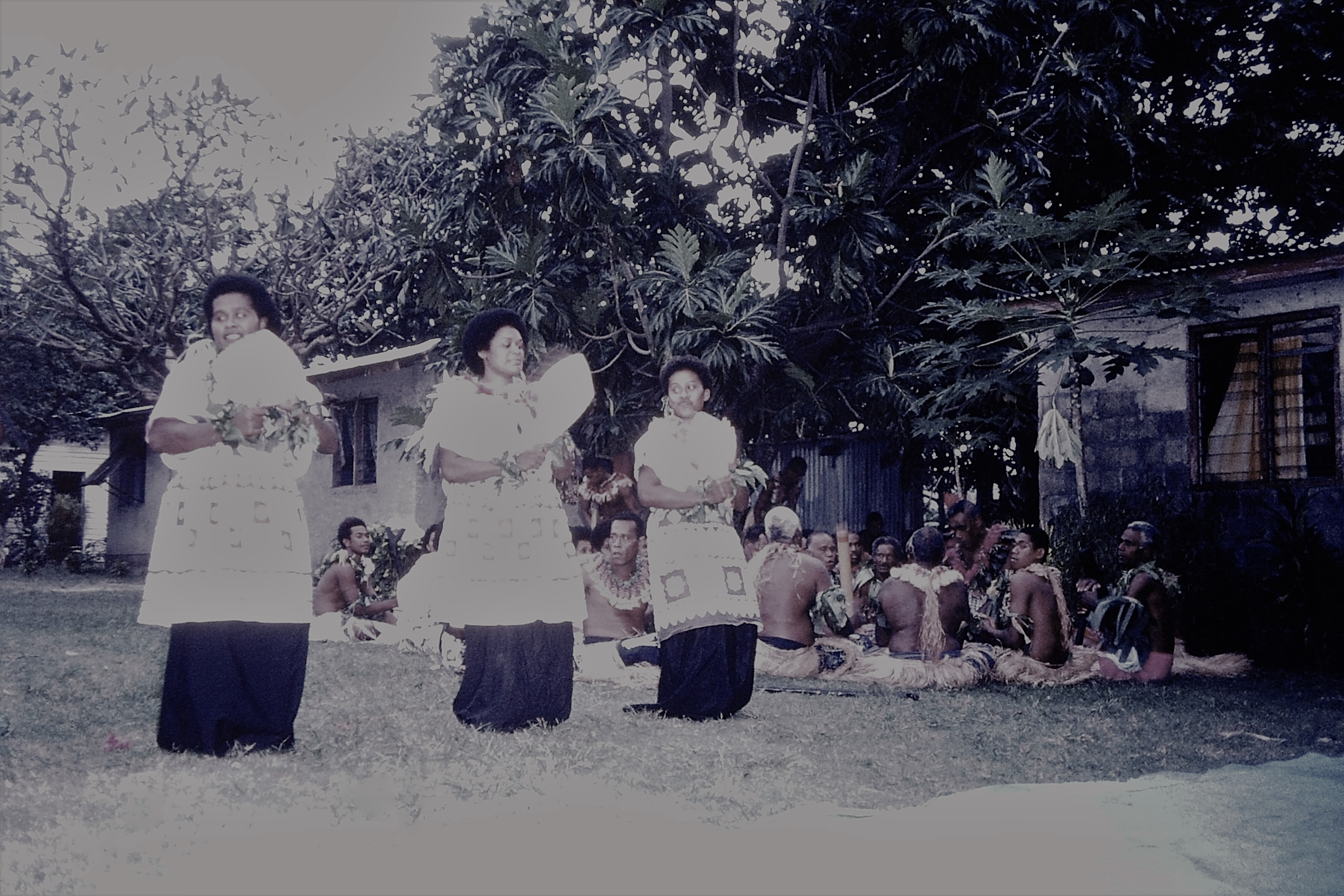
Julie Field is Associate Professor at The Ohio State University and teaches World Prehistory, Archaeological Method and Theory, and Archaeological Field and Laboratory Methods. Julie is a specialist in environmental modelling and spatial technologies, and holds a National Science Foundation Senior Research grant in Archaeology for her multi-disciplinary studies of island colonization and agricultural transformations in Fiji.
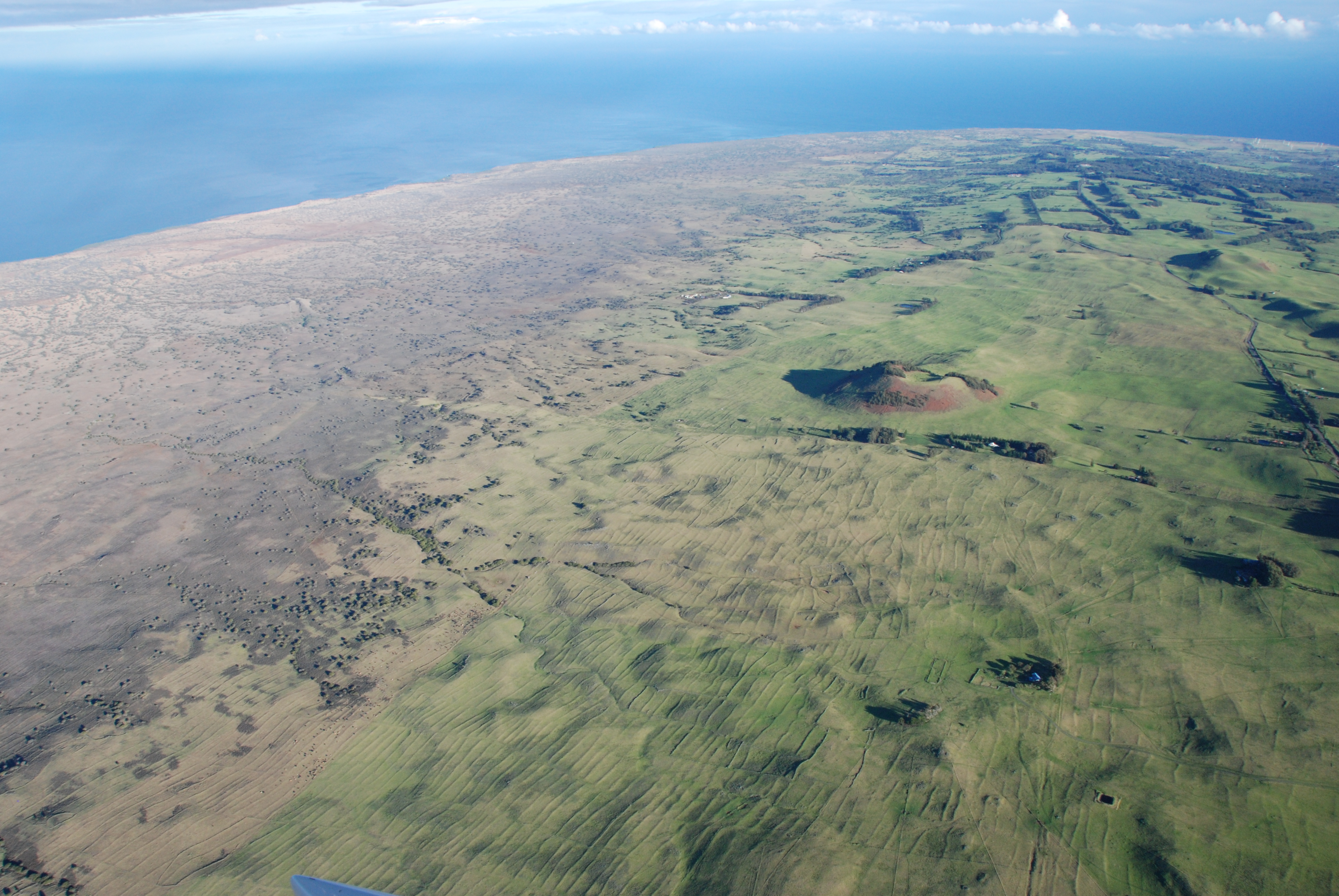
 The peak of Vatu na Reba, “Rock of the Hawk”, Waya Island, Fiji, 1997. The basalt that makes up this peak formed underwater 6-8 million years ago, and it was subsequently pushed up and tilted to an incline of 25 degrees as the Fiji archipelago spun like a top across the Pacific basin. You can see the dramatic edges of this uplifted island, which emerged above the waves approximately 5 million years ago, along the western side of Waya.
 A rare photo of me! Wayalevu Village, Waya Island, Fiji, 1998. This was the tomb of one of the Tui Waya, the high chief of Waya. Throughout Fiji certain families are chiefly families, which means they have duties to lead and are considered to have sacred and ancient connections to the land, the people, and the gods. The title ‘Tui’ means chief, and that is written on this tomb, that of Jolami Naulutegu. However, in the Wayan dialect the word for chief is “Momo’, and ‘tui’ (which means ‘chief’ in eastern Fijian dialects) means ‘dog’. Waya is an amazing place.