Drought Intensifies But Wet Weather Tries
Climate Summary
Long-term drought conditions are firmly in place across portions of central and southeastern Ohio, while western and northern Ohio have experienced rapid onset and intensification of drought over the last 30 to 60 days. Figure 1 shows precipitation deficits compared to normal across Ohio since June 1. Nearly the entire state is running at least 4 inches below normal, with a few locations in central and southeastern Ohio down to 8-10 inches below normal. Hot temperatures and low humidity are fueling crop and soil moisture loss, numerous field fires, and continued poor pasture conditions. As of September 19, 2024, US Drought Monitor depicts about 9.5% of the state in D4-Exceptional Drought with mor e than 87% experience some type of drought conditions (D1-D4).
 . Accumulated precipitation departures from the long-term mean (1991-2020) for June 1 – September 22, 2024. Figure courtesy of the Midwestern Regional Climate Center.")
Figure 1). Accumulated precipitation departures from the long-term mean (1991-2020) for June 1 – September 22, 2024. Figure courtesy of the Midwestern Regional Climate Center.
To view local reports or submit one for your location, please visit the Condition Monitoring Observer Reports page. For a more detailed look at conditions and resources, visit our Drought Response Page or for the latest up-to-date conditions, seasonal outlooks, and monthly climate summaries, please visit the State Climate Office of Ohio.
Weather Forecast
The week is starting out with the hope of wet weather. One area of showers and storms moved through on Monday, bringing heavy rain to the northern Miami Valley and portions of south central Ohio (1-2 inches for some locations). Another cluster tried to move into southwestern Ohio on Monday evening, but had a hard time staying together as it encourtered dry conditions. Yet another area of showers and storms will push into the region Tuesday morning and continue throughout the day across the Buckeye State. A few storms may be severe as well, with isolated tornadoes not out of the question. A few lingering showers are possible on Wednesday, especially across southeastern counties. All eyes will then turn to a potential tropical system moving through the Gulf of Mexico that could bring additional rainfall and windy conditions over the weekend. Stay tuned to local media for updates on weekend conditions. Overall, temperatures will be a bit cooler this week, with highs in the 70s and 80s and lows mainly in the 60s. The Weather Prediction Center is currently forecasting 0.5-2” of rain this week, with the heavier totals near the Ohio River (Figure 2).
. Precipitation forecast from the Weather Prediction Center for 8pm Monday September 23 – 8pm Monday September 30, 2024.")
Figure 2). Precipitation forecast from the Weather Prediction Center for 8pm Monday September 23 – 8pm Monday September 30, 2024.
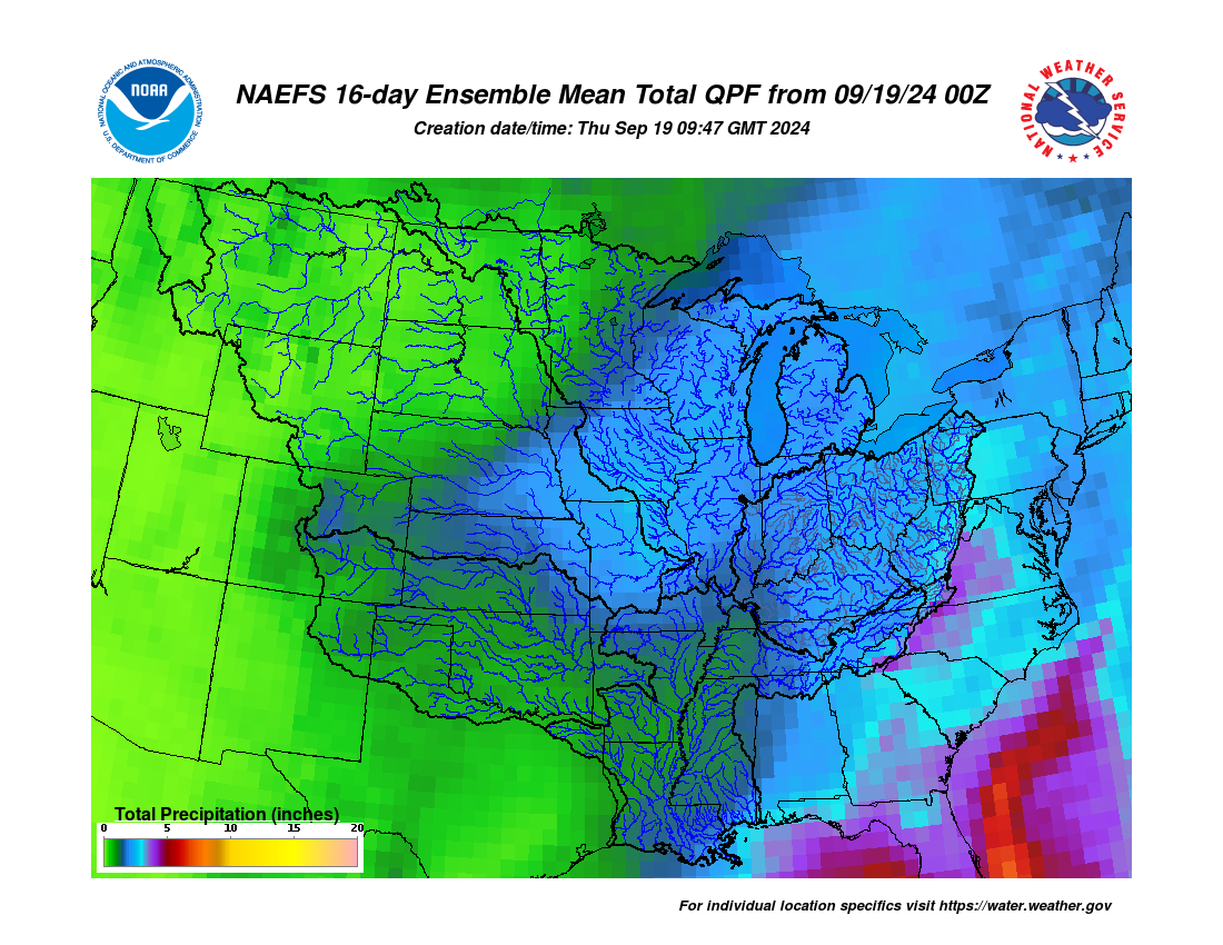
The 8-14 day outlook from the Climate Prediction Center and the 16-Day Rainfall Outlook from NOAA/NWS/Ohio River Forecast Center show temperatures are leaning toward above normal while near to above average precipitation are more favored (Figure 3). Climate averages include a high-temperature range of 72-75°F, a low-temperature range of 51-54°F, and weekly total precipitation of 0.7-0.8”.
 Climate Prediction Center 8-14 Day Outlook valid for October 1 - 7, 2024, for left) temperatures and right) precipitation. Colors represent the probability of below, normal, or above normal conditions.")
Figure 3) Climate Prediction Center 8-14 Day Outlook valid for October 1 – 7, 2024, for left) temperatures and right) precipitation. Colors represent the probability of below, normal, or above normal conditions.
Crop Observation and Recommendation Network
C.O.R.N. Newsletter is a summary of crop observations, related information, and appropriate recommendations for Ohio crop producers and industry. C.O.R.N. Newsletter is produced by the Ohio State University Extension Agronomy Team, state specialists at The Ohio State University and the Ohio Agricultural Research and Development Center (OARDC). C.O.R.N. Newsletter questions are directed to Extension and OARDC state specialists and associates at Ohio State.
