
Figure 1: U.S. Drought Monitor for Ohio as reported on Thursday, September 10, 2020
Weather Summary
Summer (June – August) 2020 ranks as the 11th warmest and 29th driest summer on record for the state of Ohio since 1895. Temperatures averaged 1-4°F above average (1981-2010), with 5-10 inches of rainfall across the northwestern half of the state and 10-15 inches across the southeastern half. Particularly dry this summer has been the northwestern counties, a few counties in central and southwest Ohio (e.g., Madison, Pickaway, Ross, Fayette, and Greene), as well as Richland, Ashland, Wayne, and Stark Counties.
Though too late for most crops in the state, recent rainfall is helping to recharge soil moisture. A slow-moving boundary draped across the state on Labor Day brought significant rainfall to much of northern Ohio. Most locations along and north of about I-70 (except NW Ohio) received 2-7” of rain. There was also a confirmed EF0 tornado a few miles east of Delaware with estimated winds to 80 mph and a few reports of large hail across the state. As of Thursday, September 10, 2020, the U.S. Drought Monitor indicates about 19% of Ohio is experiencing abnormally dry to moderate drought conditions, down from about 37% the prior week (Figure 1). For more information on recent climate conditions and impacts, check out the latest Hydro-Climate Assessment from the State Climate Office of Ohio.
 Forecast
|
Figure 2: Forecast precipitation for the next 7 days. Valid from 8 am Monday, September 14, 2020, through 8 am Monday, September 21, 2020. Figure from the Weather Prediction Center. |
High pressure and pleasant conditions are on tap for much of the upcoming week. A cold front approaching the region on Thursday could draw up some moisture from what is left of Hurricane Sally; but if it does, it is only expected to impact counties near the Ohio River. High temperatures this week should top out in the 60s and 70s across the state, with overnight lows in the 40s and 50s. A reinforcing high-pressure system over the weekend will reinforce cool, dry conditions over the weekend. The Weather Prediction Center is currently forecasting less than 0.25” across the southern counties and dry conditions across the north (Figure 2).

|
Figure 3: Climate Prediction Center 8-14 Day Outlook valid for September 22 – 28, 2020 for left) temperatures and right) precipitation. Colors represent the probability of below, normal, or above-normal conditions. |
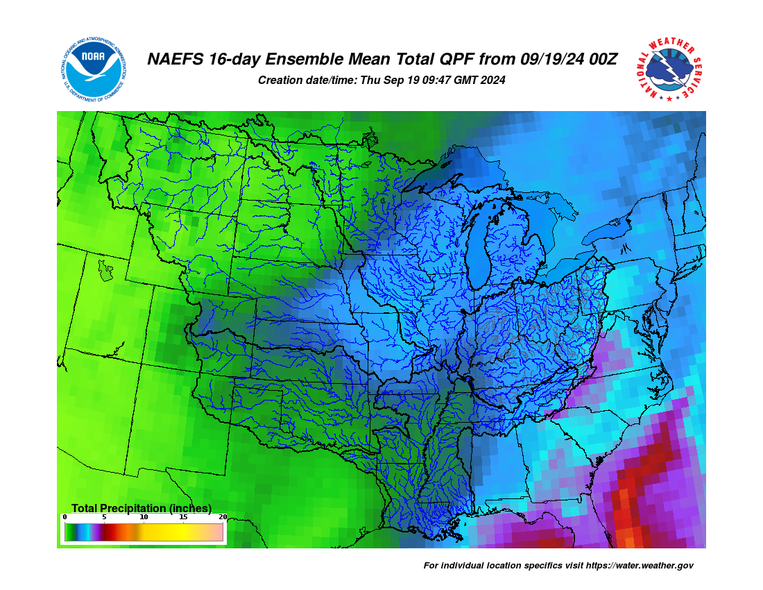
The latest NOAA/NWS/Climate Prediction Center outlook for the 8-14 day period (September 22 – 28) and the 16-Day Rainfall Outlook from NOAA/NWS/Ohio River Forecast Center show elevated probabilities for near average temperatures and below-average precipitation (Figure 3). Normal highs during the period are in the low to mid- to upper-70s, lows in the mid- to upper-50s, with about 0.75” of rainfall per week.