Posts

Neighborhood Food Assessment

PETRICORP


Preston Trails is a large subdivision in Pickerington, a city that lays along State Route 256. The neighborhood is made up of 3 smaller subdivisions, including a middle school and elementary school that belong to Pickerington Local School District. There are also a couple of neighborhood parks.

Sidewalks run along every road, providing accessibility. These sidewalks are used every day by people of the neighborhood, and often, you will see children walking or riding their bikes to the schools within the neighborhood. Crosswalks are clearly labeled and utilized often. The street lights are typically more abundant around schools than residential areas. There is some local traffic, but no public transit that runs through the neighborhood. Preston Trails is definitely an automobile derived subdivision. There is some public transit that runs along State Route 256 in Pickerington, but isn’t necessarily convenient.

Within 6 miles of Preston Trails, there are many grocery stores, such as a Meijer, a Giant Eagle, a Kroger, and two WalMarts, all located along State Route 256. Pickerington could be considered food secure, with many grocery options within a drivable radius of Preston Trails. Although Pickerington is definitely an automobile based community, and someone with out a car may want to reconsider the neighborhood of Preston Trails. Along State Route 256, there is also an abundance of fast food chains to choose from. Therefore, Pickerington could also be considered a food swamp because of the vast amount of unhealthy, yet convenient options.

The city of Pickerington could benefit from increasing public transit for it’s residents who do not drive, to increase their access to more healthy food options, perhaps by adding more COTA stops. In Preston Trails, a community garden could also help bring people together, increasing awareness about healthy food options and educating children about healthy food an sustainability as well. A farmers market could help generate revenue for local farmers, as well as provide the freshest produce to the residents of Pickerington. IMG_2671 IMG_2676IMG_2669

Sloth Squad COTA Audit Blog #6

Sloth Squad COTA Audit Blog #6

We made a trip to German Village from OSU on March 3 using both the COTA 2 line and CBUS circulator. It took us about 30 mins to reach the bookstore, The Book Loft, with one transfer in the Short North.

Picture 1
Picture 2

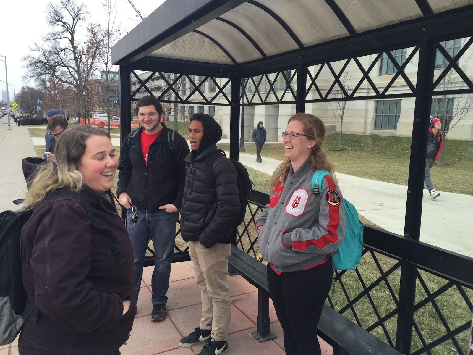
2:09pm, we took a COTA 2 line bus from 15th avenue and High St. There were about 25 passengers including us and this number remained relatively constant until we reached our destination. After several stops along High Street through OSU’s campus, the bus entered the commercial area. This meant that the bus stopped at nearly every stop, which caused an increase in bumpiness as the breaks were applied liberally, and often quickly. There was also an increase in the number of stoplights, which caused further delay and choppiness of the transit. Additionally, there were some times in which there was more than one bus (and sometimes several buses) at the same bus stop, which caused some delays. Presumably, driving a bus along High Street would be challenging for a driver in terms of maintaining a tight schedule, with a speed limit of 25mph and frequent stops. There was a definite shift in both the surrounding areas and the types of passengers who took the bus as we got farther from campus. We saw many more passengers using transfer tickets to get on the bus the further south we travelled, since a lot of the passengers in the initial few stops were Ohio State students who were able to use their Buck-i-Ds. The bus arrived at our transfer point High St. and Buttles Avenue in 8 mins, which means the average speed was 9.9 mph and the bus made stops every 43 second on average. It was only our group got off the bus at the stop, the first transfer point from the 2 line bus to the CBUS circulator.

Picture 3

Picture 4

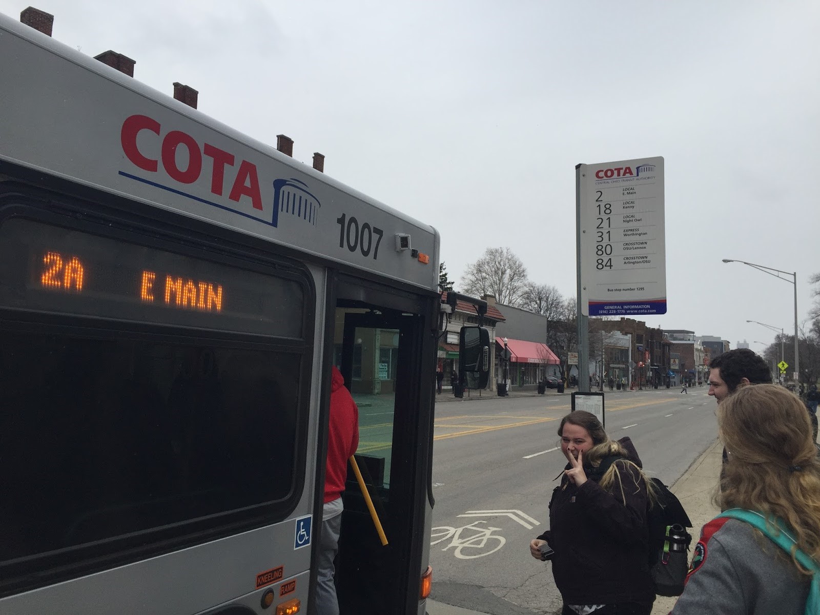
At the stop, there was a helpful information board about the CBUS and other bus routes and big map of downtown that showed all of the stops along the route. We enjoyed a little conversation about how speeding in the U.S. is normal, even for bus drivers, until the CBUS came. The transfer time to the CBUS was only 7 mins and it was totally stress free becuase we knew the bus frequents every 10 minutes during peak hours. At 2:24pm, we boarded the CBUS.

Picture 5

We took the CBUS to High St. and Sycamore St. located at the entrance of German Village. The CBUS gave us a good first impression with its blue coloring. While overall the interior of the bus was standard, with electrical boards, the bus driver followed the normal COTA buses, but there were some differences. We found a TV monitor giving us some information about shopping experiences along the CBUS route. The seats on the CBUS were also plastic, rather than the relatively sketchy fabric of the COTA bus counterparts, which was nice. Also, the seat design was unified with the bus’ exterior color blue, and the rear door was not a push door like the regular COTA buses, but sliding one, friendly to all passengers. There were around 10 passengers including us and this bus also made stops at high frequency. However, thanks to the small number of passengers, driver didn’t have to hurry and the motion of bus was relatively smooth. It took 11 mins to reach our destination, 11 stops and 1.83 miles away from the origin, which means the average speed of 9.98 mph.

Picture 6

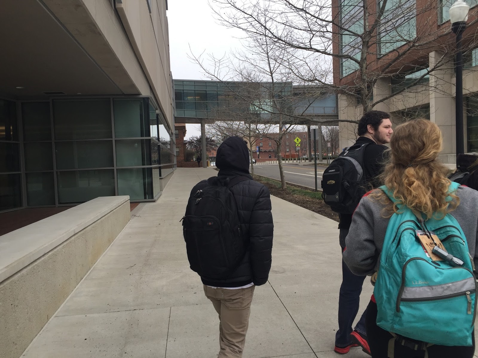
As we missed our original destination and accidentally got off one stop later (probably due to reading the map upside-down), we had to walk back one stop. If they had an announcement with more information (for example, “Next stop, High and Sycamore. Passenger to German Village, please get off here”) it would have been a better ride, especially for people like us who were not familiar with the bus route. It took about 40 mins to get to German Village in total. We arrived there at 2:40 and visited a nice bookstore.

Picture 7

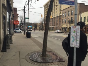
After The Book Loft we waited at a stop, although, this one did not have a timetable, so we had to use the maps capabilities on our phones to determine when a bus would be arriving to take us back to Ohio State. This was a little unhelpful, especially considering a lot of us had to get back to campus for class. Although there was a shelter for bus users, it was not really large enough for all of the people waiting at the stop, which was about 10, including us.

Overall, we had a good trip experience with COTA and the CBUS. The 7 minute transfer and relatively punctual service made our trip smooth. If there is something to be improved, it would be bus service in the downtown area. Although our trip went well, sometimes the bus service can be interrupted with traffic jams as we began to see. An alteration in the traffic pattern could help with that, perhaps with signage that encouraged drivers to use the left lane while buses used the right. That being said, there is not a lot that can be done to change the roadway along High Street, as it is landlocked on both sides by business which are packed tightly together. Also, as mentioned above, a friendly announcement with more information about each bus stop and posting timetables about arrival times would improve the quality of our trip.

Blog 5 – Old Trolley Barn – Petricorp

With the assignment to redevelop the land containing the old trolley barn, Petricorp wanted to preserve the history of the space while creating a new, exciting business for the neighborhood. We would rehab the old trolly barn to still have a historic, rustic feel while turning it into a multifunctional venue, a space available to rent for weddings, corporate dinners, theater productions, or even a small concert. On the east side of the property would be a restaurant, containing a courtyard for outdoor dining. The inside of the restaurant would feature an actual trolley, along with other historic Columbus memorabilia. In-between the barn and the restaurant would be a garden and a greenhouse, growing fruits and vegetables for the restaurant whenever possible. Throughout the entire property would be garden-like landscape, to be somewhat cohesive with Franklin Park.

This redevelopment would benefit the community by providing a new, local restaurant with a sustainable garden while it could also draw people temporarily into the neighborhood with the venue. Preserving a piece of Columbus history would hopefully inspire more building conversations instead of brand new developments.

FullSizeRender trolley

Blog 4: Zoning BOARD AND COMMUNITY DEVELOPMENT MEETINGS

Blog #4

Collegiate Rebel Penguins


The room was organized with what appeared to be the experts (i.e. traffic management, parks and recreation, etc.) sitting at a table in the front of the room, perpendicular to the screen, and the board members parallel to them, also in the front. The audience sat in rows parallel to and facing the screen. Starting with the less disputed and more minute cases, the facilitator would read off the case numbers and descriptions and show the site plan on the screen. The applicants would make their way up to the podium, which was situated between the board members, experts, and audience members and was facing the screen. The chief chairman would ask the experts if there were any traffic problems or parks and recreational problems. If there was a problem, the experts would explain the situation. The chairman would then ask the audience if anyone opposed or supported the applicant. If yes, then they would go to the podium and argue their case. The chairman would then ask the board members if they had any questions for the applicant. After everything was made clear, the board members would vote on the case with either a “yes,” “no,” or “abstain.” The majority of the vote would be necessary to approve the plan.


There were seven scheduled cases to be reviewed, however one case was postponed for another day. The first four cases had little to no controversy or opposition and were approved by traffic and parks and recreation. It was difficult to hear some of the experts and board members from the back of the room. The entire room was full with citizens and applicants. The only two cases that received a reaction from the audience were the fifth and sixth cases. The fifth case had two nearby residents argue against the case and the representative of the applicant and a surveyor argue in favor of the case. The sixth (last) case involved the majority of the audience in attendance. The plan was to build an assisted living complex and a single family neighborhood off of Ulry Rd. and Warner Rd. was highly opposed by the community members adjacent to the site location. The entire process of the case had strong reactions from the audience. The largest reaction occurred at the very end when the board members were voting on their decision. By the time the chief chairman had to cast a vote, the other board members had three vote no and one vote yes. The chief chairman told the audience that he would vote no if the vote relied on him, but since his vote wouldn’t sway the final decision and since he wished to see an improved plan rather than no plan, he voted yes. Many members in the audience were not pleased with this decision and started verbally opposing the decision. Apart from that, the audience was well behaved and well mannered.


The fifth case regarded SBA Towers building a monopole telecommunications antenna on Lazelle Rd. Two residents of a nearby condominium complex spoke against the construction of the monopole. They adamantly opposed it and gave reasons such as poor aesthetics, house prices falling, and potential health effects from the tower. The representative of the applicant argued that a condominium complex was in the process of being built between the current complex and the location of the monopole. The representative defended the merits of constructing the monopole and at one point told the board members that they will do “whatever it takes” to approve the tower. At one point, the representative invited a surveyor up to the podium to offer expert advice on the project. The surveyor brought printed site plans of the location and its surroundings. He placed the plans on the table where the board members were sitting and explained what it was portraying. The board members all approved the case with a requirement from the parks and recreation department to add vegetation around the site.


Being a part of this meeting was both exciting and eye-opening for us. The room was electric with both the opinions of the Columbus citizens, along with the ideals presented by the council members. It was great to see the action being played out right in front of us, knowing that the changes being made were actually being implemented in the city in which we live. Experiencing real world situations that will affect local neighborhoods for decades to come is unique compared to learning about historical situations or theories in a classroom setting. It’s crazy to think that changes like this happen constantly within cities around the world, for better and for worse.  


Blog 2: Legibility, Identity

Collegiate Rebel Penguins

01/26/2016

CRPLAN 2110

Blog #2


There are a lot of different components to an area that actually define it as a “place”. Place seems like such a simple idea, yet holds complexities that aren’t really noticed at first glance. For our place, we decided to choose Ohio State’s Oval, because of its significance to our everyday lives as students, and because it contains the 5 key elements of place.


It is hard to say what exactly the oval’s main purpose is, but we can conclude that one of its top objectives is through the idea of path. There are many different asphalt walkways that cut through the Oval and connect the entire campus, almost working as a nucleus. The use of various different angles create shortcuts for the thousands of students that need to get from one part of campus to another most efficiently. Farther south of the oval we see the traditionalist idea of path, where there are dismantled brick walkways rather than smooth surfaces. The man made paths also do a great job of connecting the many different districts of our beautiful campus. The main oval can be considered a district in its own right, while neighboring the South Oval district which is also accompanied by the Mirror Lake district. Heading north, we enter the Academic district, where we run into classrooms, libraries, and research buildings. Our Oval does a great job of creating an edge, between the inner and outer world. The inner workings of the oval is for walking pedestrians only, eliminating the fear of being overtaken by a careless cyclist, skateboarder, or a multi-ton vehicle. There is also the creation of an edge with the use of the street (12th Ave.), that separates Mirror Lake and South Oval districts with student residence halls. The connection of nodes is prevalent, starting with the large, brick circle in the center of the oval, which connects the most important buildings surrounding the oval such as Thompson Library, University Hall, and Orton Hall. In front of our important Thompson Library lays the ever so famous landmark: the William Oxley Thompson statue.

There are many areas of the oval that we have identified as hard. To be more precise, we’ve concluded that the entire Oval itself is a hard area. The abundance of space symbolizes a separation between classes, elevators, and dining halls, to allow those to enjoy nature and use the area for more a recreational purpose. We have considered Mirror Lake as a definite soft area. We have seen constant efforts to improve the environmental sustainability of Mirror Lake, and until this is fixed, it will remain a soft area. We also identified the area of the North East end of the oval as a soft area. This can be considered a soft area because the brick sidewalks are broken and mangled leaving a vast area for improvement.


The Oval at Ohio State can be considered as very legible. It is clearly a connection of nodes and districts through the use of path, and can be seen keenly with a bird’s eye view. You know right away what district you are entering by the surrounding elements and the edge that is created by neighboring buildings.

The oval and its immediate surroundings do a good job in creating a sense of security and protection in various ways. First, the presence of State Police officers and campus security create an overwhelming sense of protection in the area. Secondly, the blue security lights are numerous and visible from nearly any part of campus. In addition, there are clear boundaries around the University’s property (for example, High St. or 11th Ave.) so students are aware of when they are no longer on campus.


As for changes, for the most part the oval does a good job of keeping a serene atmosphere. Small changes that could be made would be adding the element of color throughout the oval’s space. Adding color gives a more attractive appeal, and can also identify it as a sacred place. Other changes that could be made to improve the area’s traffic flow could be the addition of electronic crossing signals on Annie and John Glenn Ave. And the addition of a traffic signal instead of a stop sign at the intersection of Neil Ave and Annie and John Glen Ave (outside of independence).


On a separate point, the oval definitely has its own category of sense of place. The main brick walkway through the center of the oval gives necessary character and paints an image in your head that will be hard to forget.


Ohio State’s Oval definitely is the focal point of the main campus. It is the character of our university, and defines itself within this sacred area. Once you enter its pathways, there is no doubting where you are and why you are there. It is without a doubt the capital of our University.


NodeIMG_2222

Path20160119_152150


Edge20160121_160032 (1)


PathIMG_2229

District20160119_153132

Landmark20160121_160133