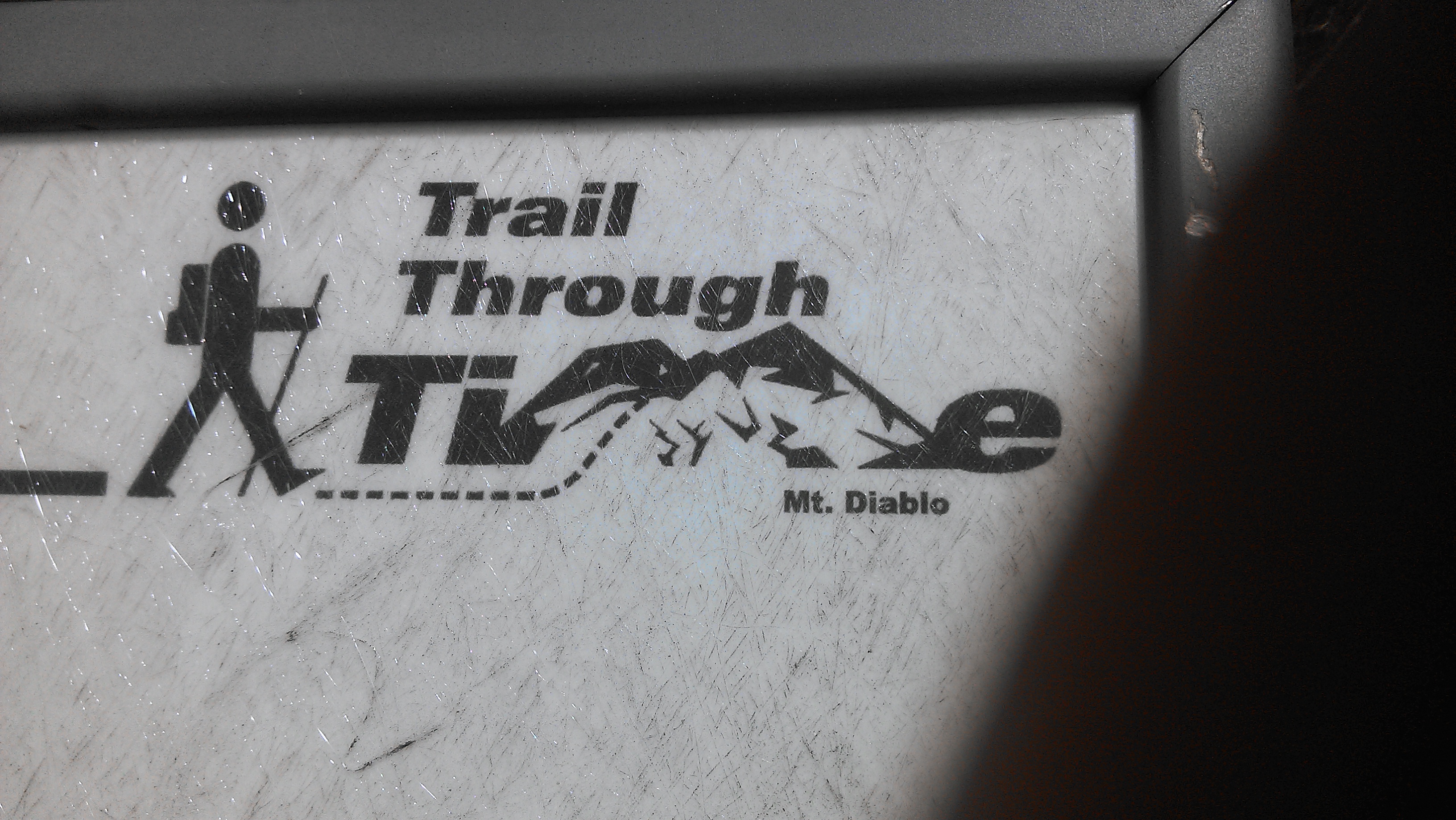
This weekend included a trip to the one and only Mount Diablo. There’s plenty of history with this mountain which can be found on the way up to the summit. Information about wildlife, the age of rocks during parts of the hike, and what the mountain has been used for can all be found. This is another hike I highly suggest since it can be as difficult or as easy as you would like. There are multiple points on the way to top to park and start the hike up. If you are not the hiking type, you can even drive all the way to the summit and get an amazing view of everything. Our group decided to start from the very bottom a mile away from the beginning of the trail and hike all the way to the summit.
During the start of the hike we were very poorly prepared. A few days before the hike, I did some research on the length of the hike and thought that the hike was 3 to 5 miles round trip. How wrong this was. It actually ended up being a 7 mile hike one way! Combine this with very small amounts of food and water and we ended up in a fairly bad situation about half way up once we realized the trail was much longer than we suspected. Also since the area is in a major drought, most of the water fountains were shutoff making water even more scarce. All of this however did not stop us since we knew we had to push on to reach the summit no matter how hard it ended up being. I enjoy a good challenge anyways.

One thing that made Mount Diablo different from Mission Peak was how the trails were actually trails rather than a fire road. In my opinion, this made the experience much more enjoyable since I actually felt like I was hiking. There was lots of variety as well. We went hiked through narrow paths which swept under masses of trees, climbed rocks, walked through areas that were completely burned from a fire, and strolled through fields of high grass.

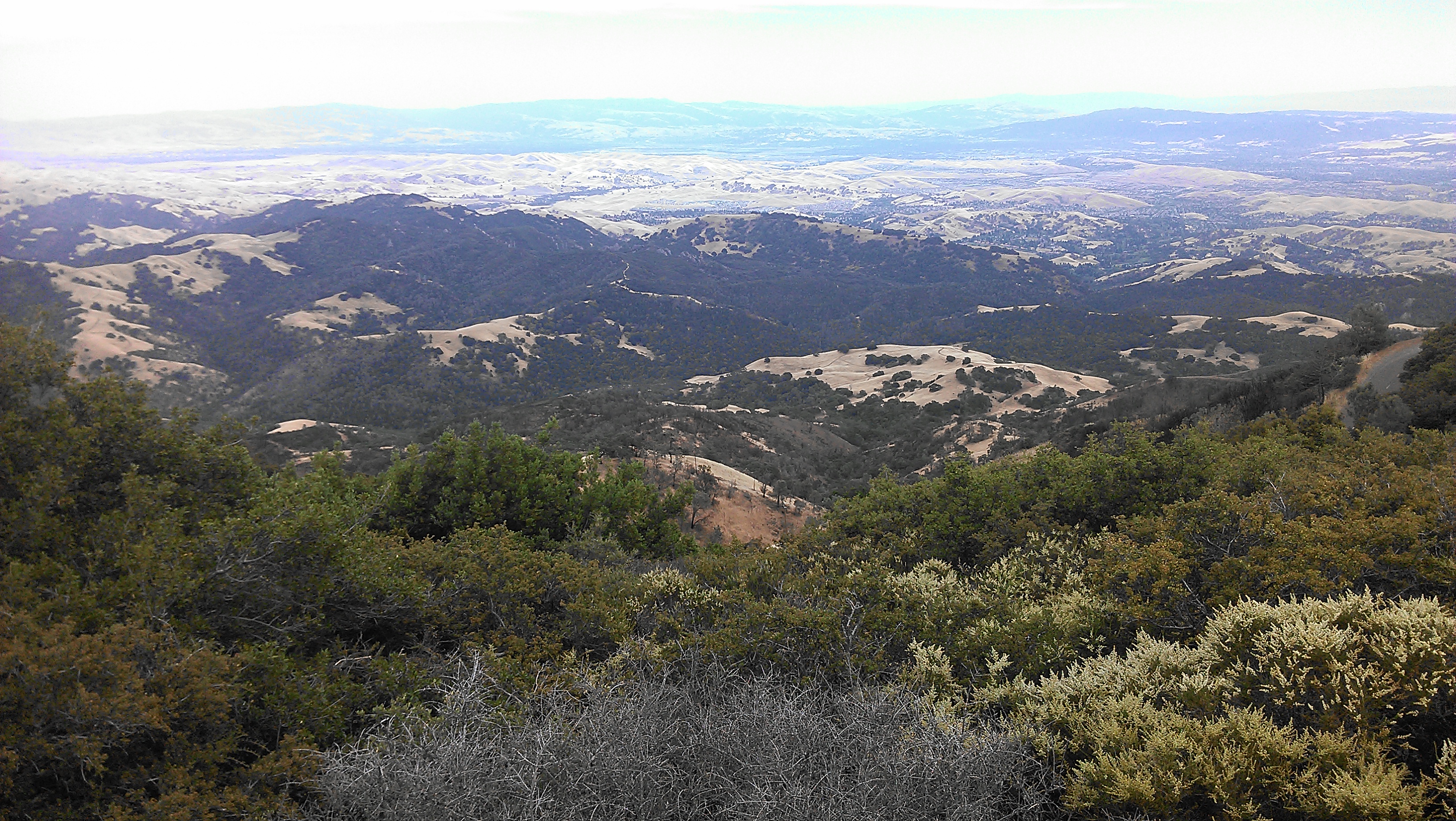
Although the road that lead up to the summit had some good views of the surrounding area, I think the trail had a lot more views that were unique and can’t be seen when driving up or down the mountain. By hiking up, you also don’t have to pay attention to the bicyclists going up and down the mountain and can instead focus on the what’s around you.
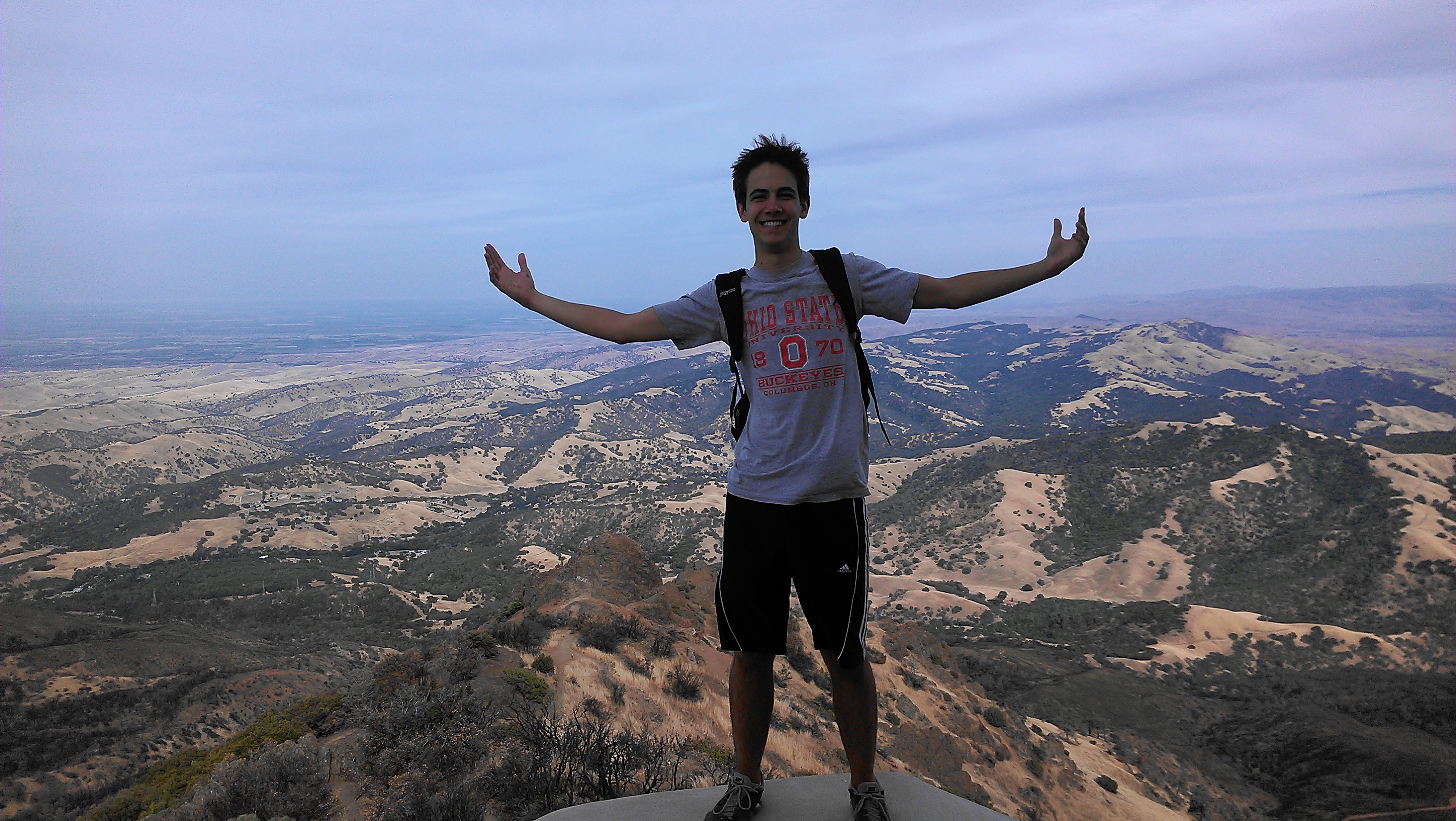
The hike really started to increase in difficulty at around this point into it. We were all pretty dehydrated to the point where we were no longer sweating. I wasn’t sure when the next water point would be so I made sure I conserved my water for the moment I really needed it. In my opinion, it was the lack of food and nutrients that ended up making the hike pretty rough near the end. Once we were 5 minutes from the summit at a small camp, we actually ran into a group of people having a picnic. We seriously debated over seeing if we could buy their watermelon! We however pushed on for the last 5 minutes and we finally reached the summit!
After reaching the top, we seriously debated whether we could all hike back down without someone passing out so we decided to call an Uber to come and pick us up and drive us to the bottom where our car awaited. It was well worth the fee since we were able to see what the experience was like by car. It wasn’t as pleasant since we were all pretty car sick from all the swerving and weaving to narrowly miss cars. I’m sure being dehydrated played a part but it wasn’t fun leaving the control up to a driver who constantly crossed the middle line separating the traffic going up and down!
Here’s some other interesting pictures from the hike:


Back to planning once again. Along with some other hikes and visits to national parks, I already have planned to visit Laguna Seca Mazada Raceway to watch the FIM Superbike World Championship races during mid July. It should be an exciting time watching a live motorcycle race for the first time!