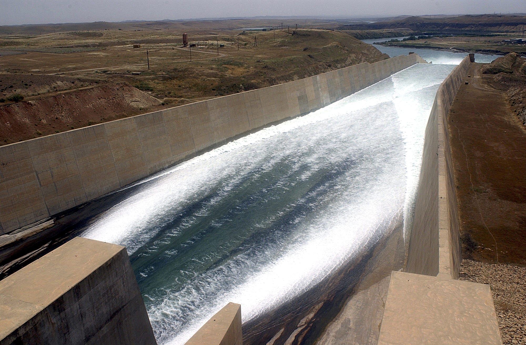
It’s essential that we do a better job protecting the minute fraction of drinkable water on planet earth and begin focusing on water renewal (See this 5-minute video:
Are We Running Out of Water?). Regardless of which region, we need as accurate a view as possible of where the freshwater is, what its properties are, and what obstacles may be blocking access to it. Vorosmarty et al. (2018) observed that current environmental surveillance systems are “fragmentary” and require “guesswork” (p. 318, Box 1. “A vision for water security”).

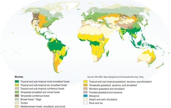
Total renewable freshwater resources of the world, in mm/yr ( 1 mm is equivalent to 1 l of water per m²) (long-term average for the years 1961-1990). Resolution is 0.5° longitude x 0.5° latitude (equivalent to 55 km x 55 km at the equator). Computed by the global freshwater model WaterGAP. Petra Döll – uploaded by Hpdoell [CC BY-SA 3.0 (https://creativecommons.org/licenses/by-sa/3.0)], from Wikimedia Commons
What information is needed to make the picture of global water resources more complete? OSU researchers are making breakthroughs on environmental sensing via satellites, for example, but there must be other pieces of the puzzle. The authors of this vision also suggest that “a skilled practitioner workforce. . . which can rapidly assimilate new knowledge from the water sciences and convert it into practical solutions” is also necessary.
These two perspectives on water knowledge: bird’s eye (or, rather, satellite’s eye), and on-the-ground contextual, are what we seek to bridge during our
water research forum on February 8th. Join us! Register
here.
The central focus of the forum is a Water Security Vision for the future which entails: “The ever accelerating environmental and societal challenges of the rapidly developing world, particularly in the water sector, are today routinely met with novel solutions that have moved beyond the typical and unitary focus on engineering-based approaches of the past to embrace blended grey-green approaches to water management.” Vorosmarty et al (2018, p. 318). These approaches will require skilled workforces and knowledge sharing for local water management practices around the world.