The Ice Age
The Ice Age, scientifically known as the Pleistocene Epoch, spanned two million years and ended about 10,000 years ago. The glaciers of this time period, often referred to as continental sheets, often extended and retreated into the northern region of the United States. This is mostly seen throughout the New England states and the Midwest (Florida Museum of Natural History, 2004). The glaciers of this period deposited sediments that are the first well-documented sediments since 280 million years ago . Pre-Illinoian glaciers, previously known as the Nebraska and Kansan Stages (named after the states in which their deposits were first found), greatly disrupted drainage patterns and modified the landscape to what we more commonly know today (Hansen, 1997).

(Courtesy of Florida Museum of Natural History)
Glaciers
Glaciers are these huge masses of ice carved out great pits of more ice that scrubbed the land as they moved slowly along. When the glaciers melted, water filled those depressions/ basins they had scraped, forming lakes. Glaciers also carved deep valleys and deposited large quantities of earth, pebbles, and boulders as they melted. These materials sometimes formed dams that trapped water and created more lakes (NatGeo, 2012).

(Courtesy of Hansen, 1997)
Before glaciation took place, the western and southern halves of Ohio were drained by the mighty river Teays (pictured above). The Teays River flowed through multiple states which helped keep the flow of its drainage in Ohio. However, “the earliest glacier blocked the northwestward-flowing Teays River and its numerous tributaries [created] a 7,000-square-mile lake in southern Ohio and adjacent parts of Kentucky and West Virginia.” This lake eventually overflowed the drainage which established the drainage system of streams and rivers into a larger lake (Hansen, 1997). This provides evidence of glacial impact on Lake Erie because without that blockage, that basin/lowland would never have filled up, nor would the drainage system of all the little streams and rivers have been established.
Glacial Deposits

(Courtesy of Chris Ralph)
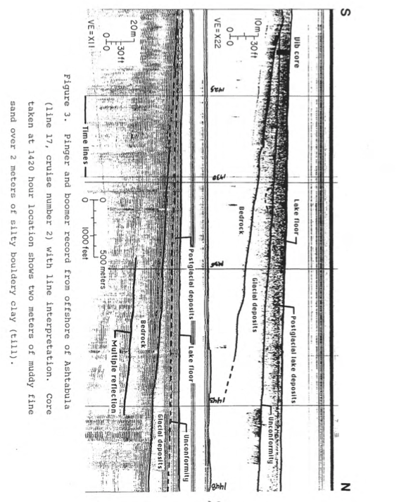
Glacial shifts, or Glacial Deposits, are the sediments that are left behind by ice sheets and melted water. They consist of boulders, cobbles, sand, silt, and clay that have scraped alongside the landscapes as the ice moved. Evidence of this is due to glacial striations which are the scratches in the bedrock made by the rocks that were frozen into the glacier (The Geological Society). Glacial sediment that varies in size from boulders to clay that are deposited directly by ice is called till and till is deposited directly at the bottom of the oncoming ice or the melting of stagnant ice (pictured below) (Hansen, 1997).

(Courtesy of Hansen, 1997)
(Courtesy of Geo Framework, 1991)
Because of the direction of the glaciers, the glacially related sediments vary greatly in size. Their range is from zero molar units to 60 molar units. These sediments remain closer to zero along Ohio’s southern shore of Lake Erie (Geo Framework, 1991).
*Continue onto “The Future of Lake Erie”*