
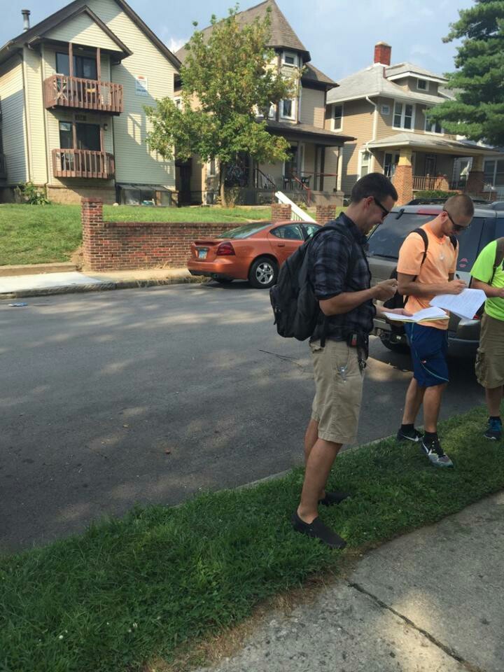
2207-2209 Neil Avenue is a duplex. They park on the street outside of their home. To the left of the duplex there is a service alley. The alley acts as a convenient roadway for service vehicles, connecting to the backs of the retail stores located on the Lane Avenue front. While the duplex is conveniently close to Ohio State Campus, it is loud and chaotic. The alley acts as an imaginary border between the end of commercial land use to the south of the duplex and the beginning of the residential zone north of Lane. Due west of 2207-22009 lies the Harrison Apartment complex, a looming structural tower which hits residents immediate peripheral vision. The duplex has a lot width of 32 feet, a lot length of 75 feet, a side setback of 56 inches, a front setback of approximately 15 feet, and has an 80% lot coverage. The sidewalk is 6 feet wide and the right of way is probably 13 feet wide. The duplex is conveniently located to all of the commercial amenities that Lane Avenue has to offer, and is as close to campus property as you can get without being on campus property. However, the location of the parking lot and the service alley adjoining the property would cause it to be loud at odd hours of the day, and would allow for a high volume of traffic flow. The lot is not private, and not a conventionally residential, as it is the border between the neighborhoods behind Lane.
Up Neil Ave. and to the right, a more conventional definition of residential property is observed. Norwich Avenue is a one-way street, 30ft wide, allowing for parking on both sides of the road while allowing ample traffic passage down the middle. The homes along the street are 10-12ft from the right of way, and the side setback between homes is varied between 3-6ft. The street only features light posts every 50 yards, and all utilities are located underground. While the street is dimly lit at night, the character of this area differs greatly between the Neil Avenue property. While only a stone’s throw away, Norwich Ave. gives off the impression of being a quiet, and private residential street, that, while a little crowded, contrasts with the hullabaloo of Neil and Lane Avenue.

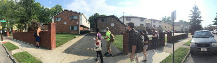

A block north of Norwich Ave. lies another one-way residential street, Northwood Ave. Northwood Avenue is 30ft wide with a 57in wide sidewalk to the south side and an 82in sidewalk on the north side of the avenue. The north side sidewalk is newer, without as many cracks and uneven meetings as the south sidewalk. The houses on Northwood have a 15-20ft set back from the right of way, with a 1.5ft side setback. Northwood doesn’t vary much from Norwich, aside from the fact that Northwood has more apartments on the street compared to houses, as opposed to Norwich. The southeast corner of Northwood features an interesting planning phenomena of low-lying brick walls. The walls give an illusion of privacy, extending the feeling of ownership of the properties behind the walls, up until the right of way line, evocative of a front porch.
Perpendicular to both Norwich and Northwood is Williams Street, which breaks continuity at an apparently unnamed alley. Facing the alley is a large, square apartment building, which, architecturally does not fit with the surrounding buildings. More interesting is the fact that this apartment building features parking on the front (alley), back (Norwich side), and side of the building. The parking to the side lines up directly to the front door of the apartment, which seems unnecessary. The rest of the alley is almost a parking lot, but significantly more chaotic than the average strip mall lot. The spots are long and can fit three cars back-to-back, but do not take traffic flow into consideration, meaning that if you are the first car at the front of the spot, you are stuck behind an apartment building and the cars blocking you in until everyone vacates the lot. There is no feasible way to fix this parking-alley without disrupting the flow of traffic from High Street to Neil Avenue, other than remove some spots from the lot and create a more traditional parking lot set-up.


Breaking apart from the residential zoning of the area are two properties. 2244 Neil Avenue was once originally a corner grocery store in 1919. Currently, the lot is a mixed use building, an apartment on top and a real estate agency on the ground front. It not necessarily an appropriate use of the building today from a planning stand point, but it is extremely convenient, especially if the real estate agency company owns the properties in the surrounding area. Essentially, the lot could be used for a grocery store again, but there is no immediate need for it. 174 W Lane Avenue is a Tommy’s Pizza Place today. The parking lot of this establishment is paved right to the sidewalk. It seems dangerous, and like a cop out, there is no curb, no sidewalk, and no break for pedestrians.