We found the MAPS Mini survey tool to be helpful, but we thought that a few questions could be added to it. This would include questions about pedestrian traffic, car traffic (including the amount, speed, and direction), trash on the street/sidewalks, and the size of the sidewalk. We also thought that the current survey needed more multiple choice options within the existing questions.

The intersection of Neil and Norwich, looking east, where you can see a lack of crosswalks and cross signals.
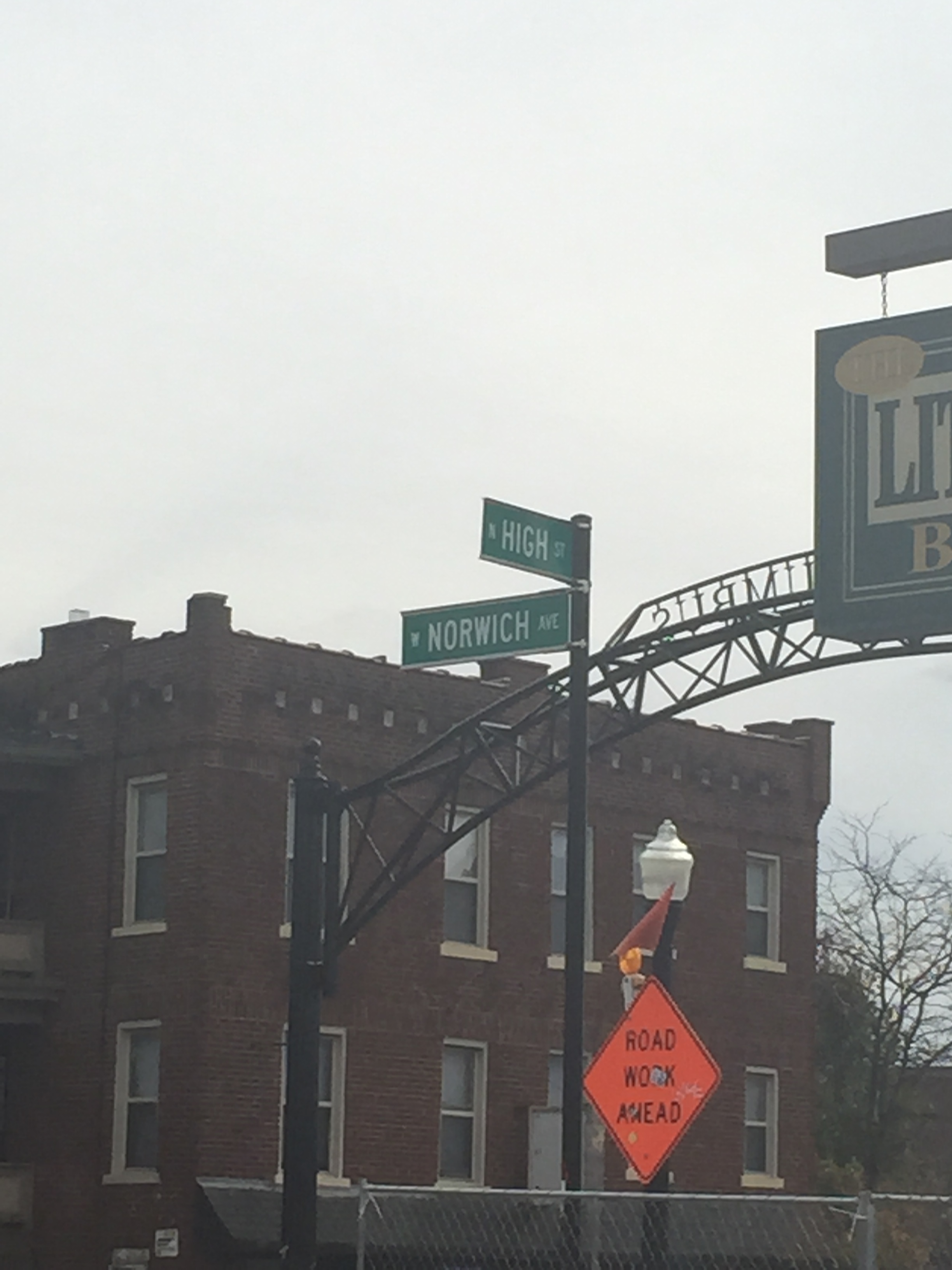
The dangerous intersection of Norwich and High, where streets aren’t aligned straight, vehicular traffic travels at least 35 mph, and there are no crosswalks or cross signals.

Looking down Norwich, a west-bound one way street with one lane of vehicular traffic, no specified bicycle lanes, and no crosswalks painted.
We felt that the public realm mattered more than the private realm because of the wording of the survey questions, the actual experience of walking on the sidewalk, and the lack of interaction with the surrounding residential buildings.
The actual functionality of the streets would matter more to the residents rather than planners. For example, we couldn’t cross High St. because there was no cross walk and the traffic was too dangerous. Community members would most likely want safer streets, meaning slower vehicular traffic and planned crosswalks that are at important crossing points.