Parque Nacional Manuel Antonio

After an 80-minute bus ride east of Jaco we arrived at the Manuel Antonio National Park, a conservation unit created in 1972 to protect the natural resources within the coastal dry forest.

iphone 357

After a short hike, we arrived at one of the most beautiful beaches I’ve even seen!!!

iphone 371   iphone 359

iphone 411 iphone 374

We shared this beautiful setting with some of the locals …

iphone 396 iphone 420

The Pacific Coast

After breakfast we were back on the road towards the village of Jaco, in the province of Puntarenas, on the Central Pacific Coast. This tiny hamlet is a surfer’s paradise, with cinnamon-hued volcanic-sand beaches, lush green rain forest, verdant mountains, plenty of surf shops, and a popular night life.

Jaco-Costa-Rica

Night Walk

Early in the evening we head out again for a night walk along the Hidden Valley.

iphone 324       iphone 328

Although Costa Rica is well-known for its vibrant creatures of the day, more than 60 percent of the wildlife found in its tropical rainforests is nocturnal. Night tours aim at acquainting travelers with these creatures and the special adaptations they use to survive in the tropics. One of the best surprises of the evening was a first contact with the fascinating armadillo!

tatu-bola

Escuela La Cruz

After finishing our canopy tour, we visited a rural school in Monteverde: The Escuela La Cruz.

iphone 316

This rural school serves a small population of students at mostly primary and secondary grades. In Costa Rica, school attendance in rural areas is much lower than in urban areas and as much as 20% of children ages 7-10 are not in school. During our visit we had the chance to talk to school teachers and administrators, as well as parents, about the challenges they face. We also had the opportunity to participate in a typical Costa Rican dance with the students!

iphone 319

Canopy Tour

Our first stop today was at the Extremo Adventure Park for a canopy tour with breathtaking views of the cloud forest and the farmlands of Guanacaste.

iphone 227

After putting on our gear we were given a safety instruction and headed for the trees!

iphone 246

The tour is divided into 12 sections, with the longest being over 2,000 ft-long.

iphone 310

Santa Elena Cloud Forest Reserve

santa-elena-reserve-look-point

By mid-afternoon we arrived in Santa Elena, a small community just outside the Monteverde Conservation Area. Within this region, 310 hectares have been permanently leased by the Santa Elena community high school. The original vision was to use this land for agricultural research and education in Monteverde. However, the farming proved to be unsuccessful, and in 1989, the land was converted into a cloud forest reserve. The reserve was created out of the community’s desire to both preserve the cloud forest and use tourism as a means to benefit community development. Entrance fees go to protecting and managing the reserve, as well as providing higher quality education for the schools of Monteverde.

santa-Elena-trails-map-sign

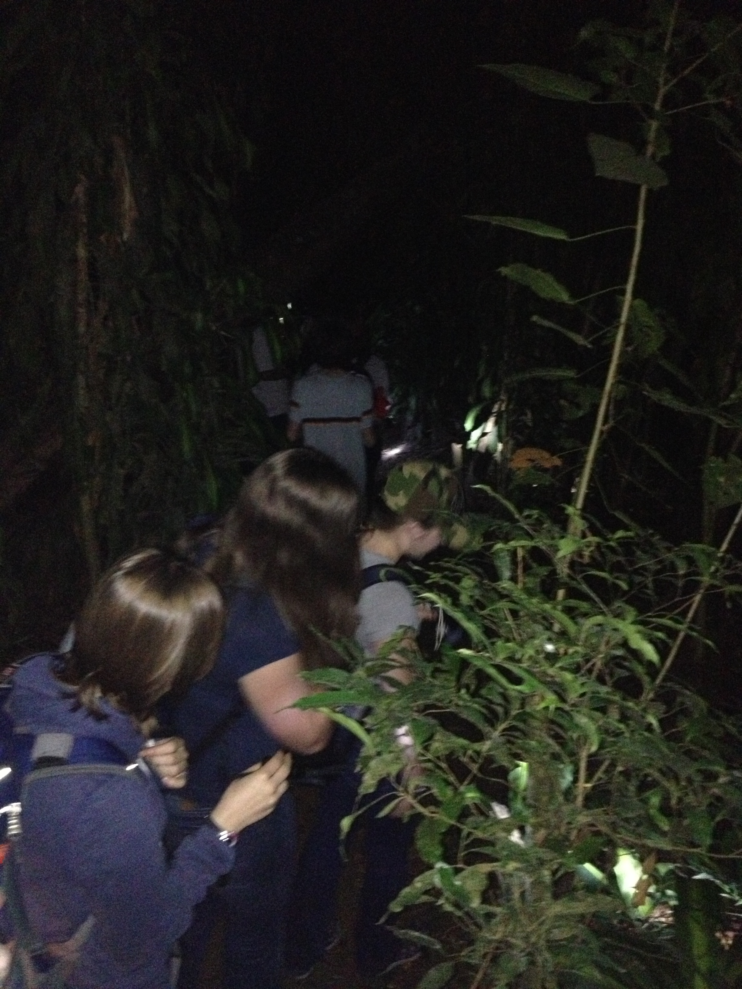
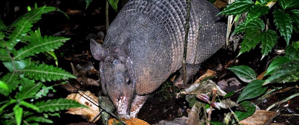
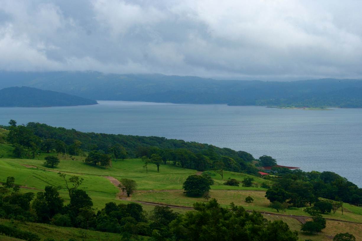
A cloud forest is a high-elevation forest characterized by a persistent, canopy-level cloud cover. These clouds provide the forest with a continual supply of moisture, which supports the fantastic array of plants that live here.

Warm winds from the Atlantic Ocean sweep over the Continental Divide, cooling and condensing to form clouds as they rise. By the time they reach Santa Elena, the clouds are thick and filled with moisture. The forest is thus bathed in a constant supply of mist, which, over the course of a year, amounts to nearly twelve feet of rain.

 Monteverde-sky-walk

Lake Arenal

lake arenal

After an invigorating visit to the La Fortuna Waterfall we got back on the road and drove towards Lake Arenal, which sits at the base of the Arenal Volcano in the northern highlands of Costa Rica. It is the country’s largest landlocked body of water, with a surface that covers nearly 33 square miles and a depth that reaches about 200 feet.

arenal-lake_2

In 1979, Lake Arenal was enlarged to three times its original size with the construction of a hydroelectric dam, raising the level of the existing lake by 141 feet. The hydroelectric plant has an installed capacity of 157 MW and includes a 230 feet-high dam located 1788 feet above sea level. Hydropower is the main source of energy in Costa Rica, followed by geothermal and wind power. Together these three renewable energy sources make up 99.2% of the nation’s total energy production.

Catarata Rio Fortuna

After a short drive from the hotel in La Fortuna, we arrived at the waterfall entrance.

DSCN4264

The hike down to the waterfall is strenuous but worthwhile! The trail runs through dense rainforest vegetation, offering up chances to spot toucans, monkeys, and other tropical creatures.

DSCN4284

It takes about 20 minutes to hike down the trail but even before arriving we could see glimpses of the waterfall and hear the roar from the 200-feet drop.

DSCN4302

Down to Earth Coffee

After returning from Los Chiles we attended a lecture by Matias Zeledon, the founder of Down to Earth Coffee, a sustainable coffee enterprise that is socially responsible and environmentally friendly. Matias explained how his operation is different and showed us how to become expert coffee “cuppers”.

downtoearth_logo

DSCN4243


Caño Negro Wildlife Refuge

The Caño Negro Wildlife Refuge is part of the Arenal Huetar Norte Conservation Area, near the border with Nicaragua. The refuge is home to many migratory waterfowl, as well as tropical mammals and reptiles. The park covers 25,100 acres and receives about 120 inches of rain each year. The freshwater Lake Caño Negro forms in the rainy season and is fed by the Frio River.

DSCN4173