My concept map shows the major topics related to transportation, urban design, and sustainability and how they relate to each other. Transportation consists of individual and public options, with individual transportation consisting of cars, roads, and pedestrians, with public transportation encompassing public transit, busses, and metro. It is also important to show the goals of transportation, and the problems associated with it as well. The purpose is to move people and goods, but problems are created by traffic and a lack of connectivity. Public transportation related to sustainability, with public transit and pedestrians reducing emissions compared to transit by car. The movement of people is facilitated by the separation of functions in a city, related to urban planning by creating different districts for different uses. Urban design consists of city layout, districts, parks, and making the city attractive. The layout and amenities of a city are extremely important, allowing it to be functional. Districts allow for different functions to be grouped together to create distinct areas. Parks are recreational areas that break up the continuity of the city and are related to sustainability and health. Making a city attractive is another goal of urban design, through landscaping and appropriate amenities. Sustainability of a city includes health, longevity, and nature. The reduction of cars and emissions help import exports the health of a city and the cleanliness of the air. This is closely related to transportation and the increase in public transit. Longevity refers to the longevity of projects, meaning they will be functional for a long time. This category also encompasses policies that support the future like sustainable energy. Nature is related to parks and includes trees and the inclusion of natural spaces in a city. Nature is present in urban planning through city beatification, landscaping, and recreational areas.
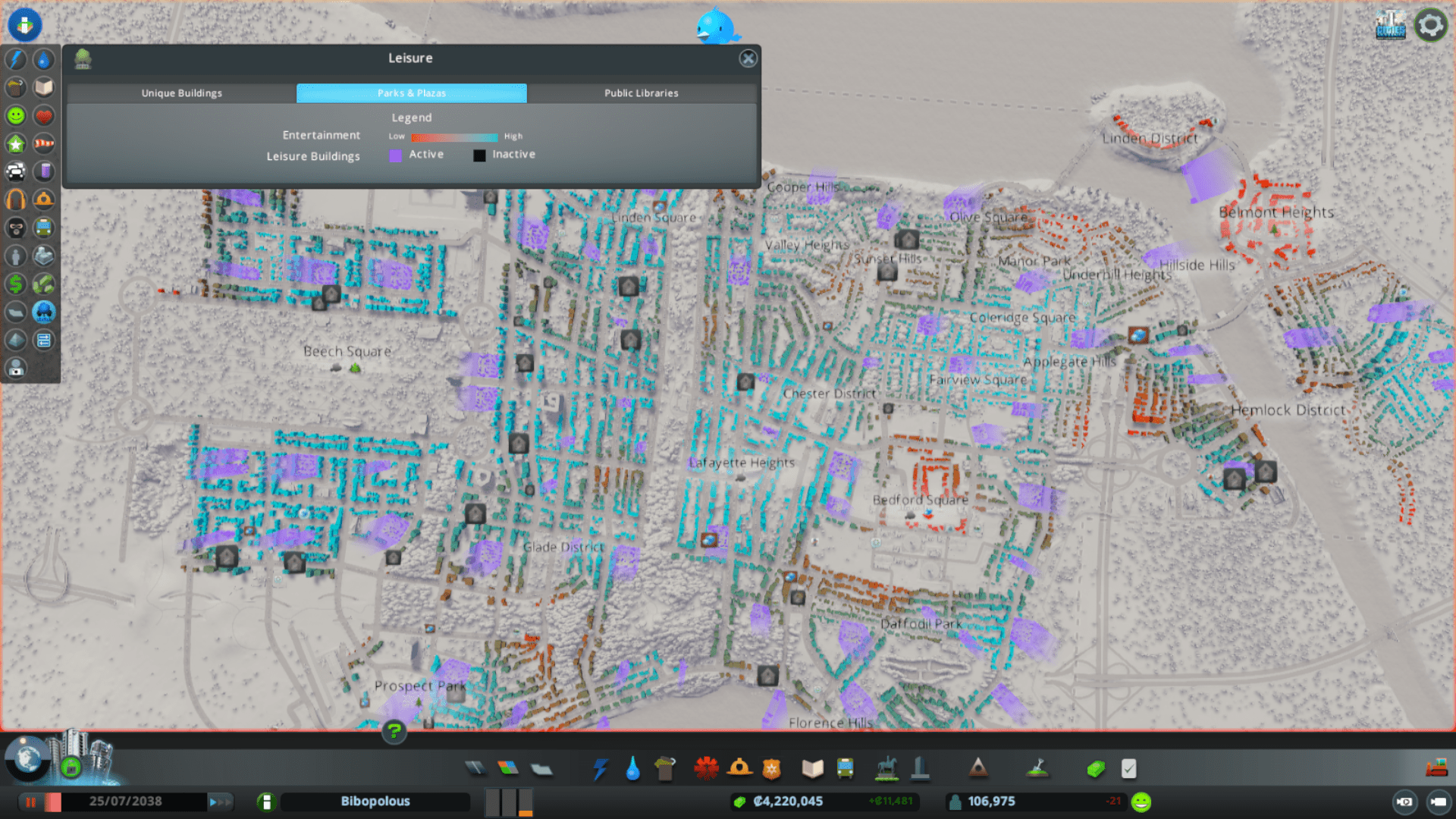
The city skylines simulation roughly addresses these topics, but does not always display them completely or accurately. Transportation in the simulation is fairly accurate, incorporating all types of transit and showing problems like traffic and budgeting issues. The simulation does not do a good job of showing the environmental impacts of transportation and it is difficult to show when emissions are reduced. Urban design in the simulation is detailed, with the player being able to completely design the entire city. While there is freedom in the city layout, the simulation doesn’t provide an incentive to beautifying the city and adding landscaping, but does address issues of placing residential projects near industrial ones. The simulation also shows where amenities like parks and schools are in demand, facilitating urban design that addresses these issues. The simulation does not address sustainability well, with the only measures of pollution from industrial areas and wastewater outlets. The simulation does not show transportation related emissions or how they are reduced with the introduction of public transportation. The simulation does include sustainable energy sources like solar and wind power, but lacks incentive for them to be used. Overall the simulation addresses all of these topics, but not in the same way they exist in our world.
Transportation in the Simulation:

Parks and Plazas in the Simulation: