- My city is named Bibopolous, this is a combination of my last name (Bibbo) and Metropolis (a large city). Many of my friends call me by my last name and I thought it was fitting to name my city after myself.

- My city has evolved by transitioning from a mainly industrial city to an office centered city. As the city grew, new residential and commercial areas added were high density, making the city more compact. The city has also grown on both sides of the highway, separating the city into two parts. This will be bridged once the highway is adjusted as part of the improvement plan.

- The current population is 79,178 people. The population is trending upwards with about 200 new residents per cycle. The population has increased drastically over time with some periods of little growth and others with rapid growth. The city is largely made up of adults at 32% of the population, while children make up the smallest demographic at 7%.

- A goal for the built environment is to become more attractive. The city is functional but could be more aesthetically pleasing and more accessible to pedestrians. A strong point of the built environment is a low amount of traffic, with an average flow of 71%. A weakness is that most traffic problems occur at a large highway roundabout, an intersection that needs improvement. An opportunity for the city is to reconstruct this interchange and relocate the highway underground. A threat to the built environment is the density of the city, allowing little room for public transportation and recreational paths.
Actions to improve the built environment:
- Reconfigure highway roundabout into an interchange with bridges and tunnels
- Convert stretches of highways to tunnels to reduce noise pollution and create space for new development
- Add pedestrian paths and landscaping to make the city more attractive

- A goal for housing is to provide living with easy access to the community and access to all services and utilities. A strength of housing is that there are both low and high-density residential areas in multiple parts of the city with all necessary amenities including parks, health, and education. A weakness is that much of the residential areas are grouped together, separate from the commercial areas of the city. An opportunity is to better bridge this gap while connecting residential zones to pedestrian paths. A threat is a low demand for housing in the city at the moment. This will change as the city grows.
Actions to improve housing development:
- Connect residential areas to parks with paths
- Create new residential areas throughout the city
- Construct residential areas near other zones

- A goal for economic development is to become more balanced. Currently, there is more office space than there is demand. A strength is the majority of economic development is centrally located and easy to access. A weakness is the abundance of economic zoning, causing buildings to be abandoned due to a lack of need. An opportunity for economic development is building different industrial zones like farming and forestry to take advantage of the natural resources in the city. A threat is a low demand for economic development.
Actions to improve economic development:
- Reduce the amount of economic development to meet demand
- Add industry districts to take advantage of natural resources
- Use old economic space for parks and amenities

- A goal for transportation is to not lose money on the transportation systems. Currently, transportation has a negative profit of about $12,000. A strength of the system is that multiple transit options are available, including train, bus, and plane. A weakness is that spending on transit vastly outweighs its income. An opportunity is to reconfigure bus routes to make them more successful and less expensive. A threat is a demand for more transportation services, while they are not financially successful.
Actions to improve transportation:
- Reconfigure and reduce bus routes
- Reduce the amount of train infrastructure to meet current demand
- Reduce spending on transportation

- A goal for services and utilities is to meet citizen’s demands and provide all the amenities possible for the community. A strength is that water, power, fire, police, education, and health services all currently have extra capacity. A weakness is that about 19% of citizens are uneducated. An opportunity is to expand community services to increase city attractiveness and citizen happiness. A threat is the cost of these services and utilities could be more than the budget can allow for.
Actions to improve Community services and utilities:
- Add schools in residential areas without them
- Add more services for citizens
- Adjust funding for services

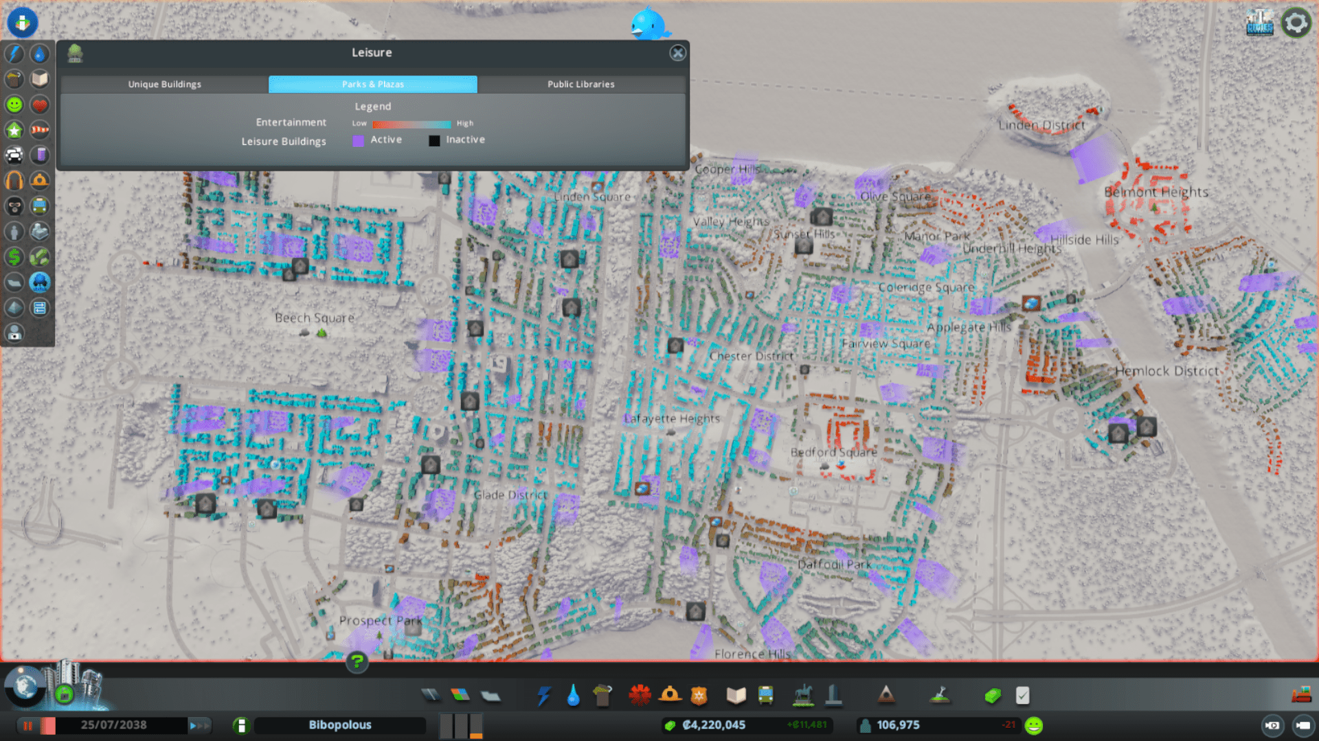
- A goal for parks and recreation is to provide a network of parks across the city easily accessed by all citizens. A strength is the abundance of park and recreation facilities. A weakness is that many of these parks are not connected by pedestrian paths and there is a lack of these paths across the city. An opportunity is to expand these facilities and connect them to benefit citizens. A threat is the development of more paths and facilities could involve demolishing existing buildings and roads.
Actions to improve parks and recreation:
- Connect parks with pedestrian paths
- Build more parks and recreation facilities in all parts of the city

- A goal for the natural environment is to preserve natural areas in different parts of the city, including forests and waterfronts. A strength of the natural environment is that there are many natural areas that have been undeveloped, especially along the lakefront. A weakness is that much of this land is in one area away from the city center. An opportunity is to preserve natural areas and add pedestrian paths to connect them to the park system. A threat is that preserving natural areas may prevent development from expanding in certain areas.
Actions to improve the natural environment:
- Preserve natural land, especially along the lakefront
- Connect natural areas to park system with paths

- A goal for future land use is to develop land to benefit citizen’s demands and provide a workable environment that connects to the rest of the city. A strength of future land use is that it will take into consideration the lessons learned from previous development in the city and will cater directly to citizen’s current needs. A weakness of new development is that it is away from the current city center in a less desire able location. Opportunities new land-use provides includes expanding the city in a smart way that can allow the city to become more connected and provide new resources to the public. A threat is that new development could disrupt natural areas in the city.
Actions for future land use:
- Develop land using lessons learned from previous development
- Connect new development seamlessly to existing city

- To achieve the goals above, I will begin by reconfiguring roadways, highways, and zoning to meet current needs. This will be a large construction phase of the plan. After this is completed, smaller work like adding parks, pedestrian paths, and reconfiguring public transit options can begin. Finally, the plans for future expansion will be implemented.
This exercise in comprehensive planning provides a good look at how planners identify possible improvements and plans for a city, but the simulation does not fully represent reality. For example, in the simulation, there are only very limited ways that citizens can provide feedback. In reality, city planning has begun to involve more of the public opinion. Comprehensive plans mostly go through specific phases. Phases include research, clarification of community goals, formulation, implementation, and revision (Levy). In the simulation, the planning process remains relatively unchanged with the simulation providing information about land resources, traffic, and more. A population prediction is difficult to replicate, but the simulation shows current population patterns. The clarification of community goals is extremely limited, with almost no citizen input in Cities: Skylines. This process would normally consist of an open discussion with citizens, businesses, and other groups affected by the proposed planning (Levy). This is not possible in the simulation, but demands for different zones are shown at the bottom left of the screen. Formulation consists of laying out and comparing multiple options (Levy). Since everything in the simulation is decided by one planner, different ideas do not need to be agreed upon by different groups, undermining reality. Implementation, in reality, involves capital investments and deciding what can be done in regards to the budget (Levy). In the simulation, there are no capital investments, but there is a limited amount of money available to use shown at the bottom of the game screen. Finally, revision is the process of checking and updating the plan as needed to meet the current needs of the city (Levy). This can be done by the game player while implementing the plan in cities: skylines similar to reality. Overall, the simulation is not realistic especially due to the lack of citizen input and funding differences. Despite being different than reality, the simplified version of city planning in cities: skylines is easy to use and is a nice broad view of the world of city planning.
Works Cited
Levy, J. M. (2016). Contemporary urban planning (11th ed.). New York; London: Routledge.