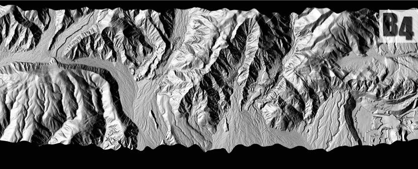
This website is designed to benefit users and analysts of the B4 Airborne Laser Swath Mapping (ALSM) survey of the San Andreas Fault (SAF) system of central and southern California, including the Banning segment of the SAF and the San Jacinto fault system. Those persons interested in the detailed structure of the B4 survey, and in reprocessing the GPS and/or LIDAR data, will wish to study our tables of metadata, maps showing the survey geometry during the May 2005 survey, as well as the document describing our metadata terminology. Most users will be more interested in our data products, that is, the LIDAR point clouds and DEMs which can be obtained from the Access to Data Products links below.
An Overview of the B4 Project
B4 Survey geometry and metadata:
‣ Explanation of our terminology
‣ Maps showing the geometry of the survey
‣ Tables of metadata
‣ Overview of Google Earth kml files
Access to B4 Data and Data Products:
‣ OpenTopography archives the point cloud data and provides user-customized DEM generation. DOI: 10.5069/G97P8W9T
‣ UNAVCO archives the ground control (static GPS) data and metadata as part of the two campaigns called “GeoEarthScope ALS San Andreas Fault (B4) 2005-B4-Phase 1” and “GeoEarthScope ALS San Andreas Fault (B4) 2005-B4-Phase 2”
If you use the B4 DEMs or point clouds in your research or projects please publish your imagery using the ![]() logo and refer to the B4 website, u.osu.edu/b4lidar , in your acknowledgements section. If possible, please send us a description of your work and a URL to any pages demonstrating your work with the B4 imagery.
logo and refer to the B4 website, u.osu.edu/b4lidar , in your acknowledgements section. If possible, please send us a description of your work and a URL to any pages demonstrating your work with the B4 imagery.
Research Using the B4 Data:
‣ Petra Geotechnical Inc., (Coachella)
‣ McGill et al., (San Bernardino)
‣ Crosby, (GEON ALSM workflow)
‣ Belle et al., (Coachella)
‣ Arrowsmith et al., (Fort Tejon)
Please email questions or comments concerning the website to Eric Kendrick kendrick.42@osu.edu